
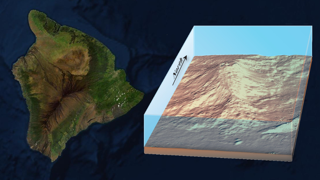
Image courtesy USGS previously published General Information Product 135, which featured a Digital elevation model (DEM) of Kamaʻehuakanaloa, then Lōʻihi. (USGS image is about 25 miles wide east to west)
(BIVN) – Scientists with the USGS Hawaiian Volcano Observatory issued a statement Tuesday, following a short period of heightened seismic unrest at Kamaʻehuakanaloa, the undersea volcano formerly known as Lōʻihi Seamount.
Elevated seismicity was observed at Kamaʻehuakanaloa – which is located offshore to the southeast of the Island of Hawaiʻi – starting around 2 a.m. HST on January 21.
Seismicity ceased by 8 a.m. HST, and scientists say a continuation of earthquake swarm activity at this time seems unlikely.
There were 16 total earthquakes identified in this swarm, located at depths of 8 to 20 miles below sea level. There were no reports of any of the earthquakes in this storm being felt in Hawaiʻi.
“The source of the earthquakes is difficult to determine at this time, but it may be related to the movement of magma beneath Kamaʻehuakanaloa,” the USGS HVO wrote. “Prior swarms related to probable eruptions at the volcano have consisted of thousands of earthquakes over days to weeks.”
The scientists say the earthquake swarm did not impact other volcanoes or any infrastructure on the island of Hawaiʻi, and added that any eruptive activity at this volcano would have no impact on residents of the Big Island.

by Big Island Video News
on at
STORY SUMMARY
KAMAʻEHUAKANALOA - The seamount offshore to the southeast of the Big Island entered a period of heightened seismic unrest around 2 a.m. HST on Tuesday, January 21.