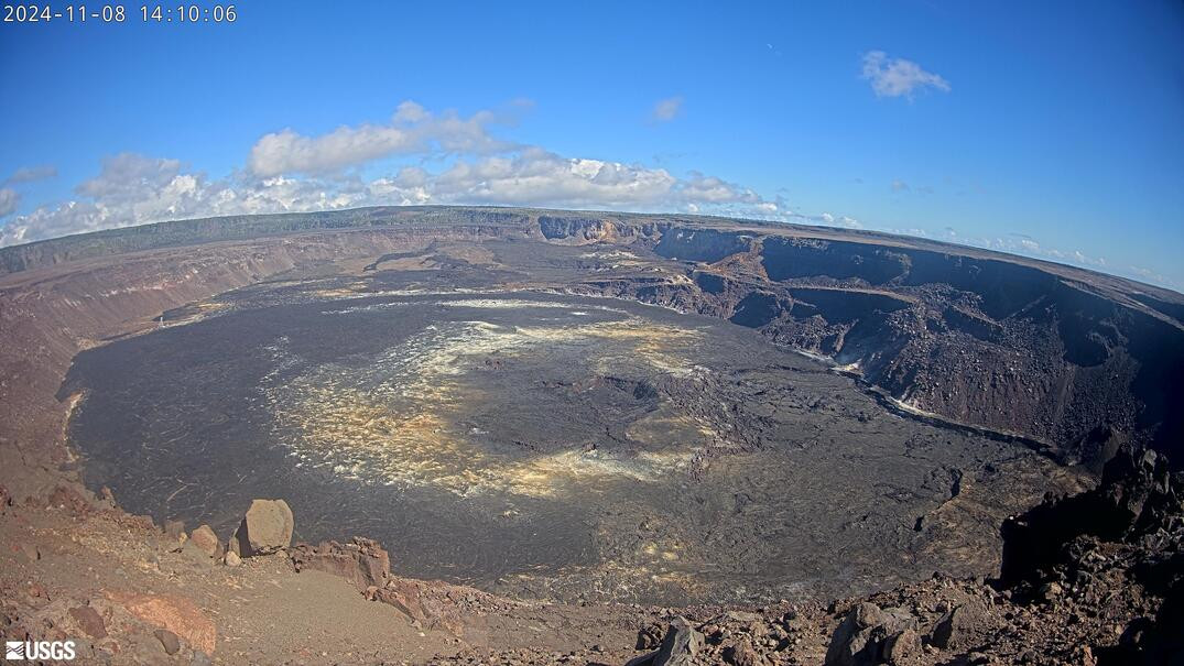
(BIVN) – Kīlauea is not erupting, and the USGS Volcano Alert Level is at ADVISORY.
On Friday, the Hawaiian Volcano Observatory (HVO) said that it will soon switch from issuing daily Kilauea updates to weekly updates, given the low levels of unrest over the past month.
Daily updates will continue through Saturday, November 9th, after which time HVO will begin issuing weekly updates starting on Tuesday, November 12.
Seismicity and ground deformation at Kīlauea’s summit, upper East Rift Zone, and Southwest Rift Zone are low, and only minor deformation has been observed in the volcanoe’s middle East Rift Zone.
From the USGS Hawaiian Volcano Observatory on Friday:
Summit Observations: Earthquake counts in Kīlauea’s summit region are at background levels. Tiltmeters at Uēkahuna and Sand Hill—respectively northwest and southwest of Kaluapele, the summit caldera—have shown no significant changes over the past day. The most recent measurement of the sulfur dioxide (SO2) emission rate from the summit was approximately 60 tonnes per day on September 17, a value representative of noneruptive conditions at Kīlauea.
Rift Zone Observations: The recent middle East Rift Zone eruption near Nāpau Crater stopped on September 20. Weak steaming from the eruption site has been intermittently observed in webcam imagery since that time. No SO2 from the eruption site was detected on September 23 during measurements along Chain of Craters Road, indicating that SO2 emissions from the middle East Rift Zone are negligible.
Shallow earthquake counts in the upper and middle East Rift Zones are low. No tremor has been recorded on seismometers near the recent eruption site since September 20. Tiltmeters and GPS instruments show minor ground deformation in the middle East Rift Zone at this time.
All recent unrest was confined to the middle East Rift Zone between Makaopuhi Crater and Puʻuʻōʻō, and there are no indications of any changes downrift in the lower East Rift Zone.
Analysis: Kīlauea erupted briefly in and near Nāpau Crater from September 15–20, 2024. Lava flows from this eruption covered more than 880,000 square meters (217 acres) of Nāpau Crater and areas to the west. A webpage with eruption-related resources is available here: Eruption on Kīlauea middle East Rift Zone | U.S. Geological Survey (usgs.gov), and a summary of the eruption is available in this “Volcano Watch” article: Volcano Watch — A New Kīlauea Eruption | U.S. Geological Survey (usgs.gov).
While the middle East Rift Zone eruption has ended, unrest continues at low levels in this region of Kīlauea. Rates of seismicity and ground deformation have greatly decreased since the eruption, but geophysical data show that magma is continuing to move at a low rate from the summit to the middle East Rift Zone. Future intrusions and eruptions could occur with continued magma supply.


by Big Island Video News7:41 pm
on at
STORY SUMMARY
HAWAIʻI VOLCANOES NATIONAL PARK - Given low levels of unrest at Kīlauea, the Hawaiian Volcano Observatory will switch from issuing daily to weekly updates.