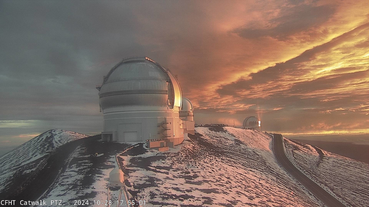
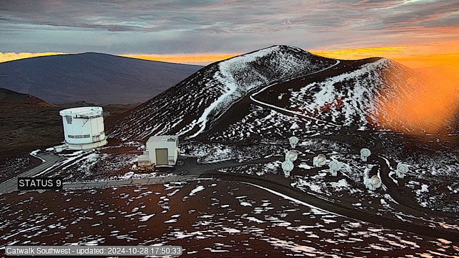
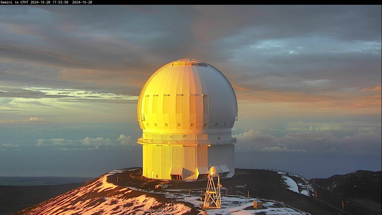
(BIVN) – It was a scenic sunset on the summit of Maunakea on Monday evening, where skies began to clear and the snow that had fallen over the previous day had not yet entirely melted.
The view was captured from multiple observatory webcams, high atop the Hawaiʻi island mountain.
The Winter Weather Advisory for the summits of Maunakea and Mauna Loa has been discontinued by the National Weather Service, although the Flood Advisory for the entire Big Island has been extended through 6 a.m. Tuesday.
An upper low near the Hawaiian Islands “will maintain moist and unstable conditions that could produce periods of locally heavy showers,” forecasters explained.
From the National Weather Service on Monday evening:
A mid- to upper-level low just southwest of the state will maintain somewhat wet conditions and a chance of heavy showers tonight. The weakening low aloft is not producing much forcing, but since precipitable water remains at an impressive 1.6 to 2 inches, widely scattered heavy showers and a few thunderstorms have been passing over and around the islands today, with many windward sites measuring 0.5 to 1.5 inches of rainfall. Since the low aloft will fill very slowly, expect continued passing showers, some heavy with a possible thunderstorm, tonight, and with soils nearly saturated from the past few days of rainfall, it will not take much to cause flooding issues over windward areas. Thus, we have opted to keep the Flood Watch in place. That said, there are hints of drier air aloft starting to move in from the east, and since snowfall has greatly diminished on the high summits of the Big Island, the Winter Weather Advisory has been cancelled.
The Mauna Kea Access Road, previously closed due to the snow and ice, is now open to the public.


by Big Island Video News6:09 pm
on at
STORY SUMMARY
ISLAND OF HAWAIʻI - The National Weather Service has extended the Flood Watch that was previously in place for the Big Island.