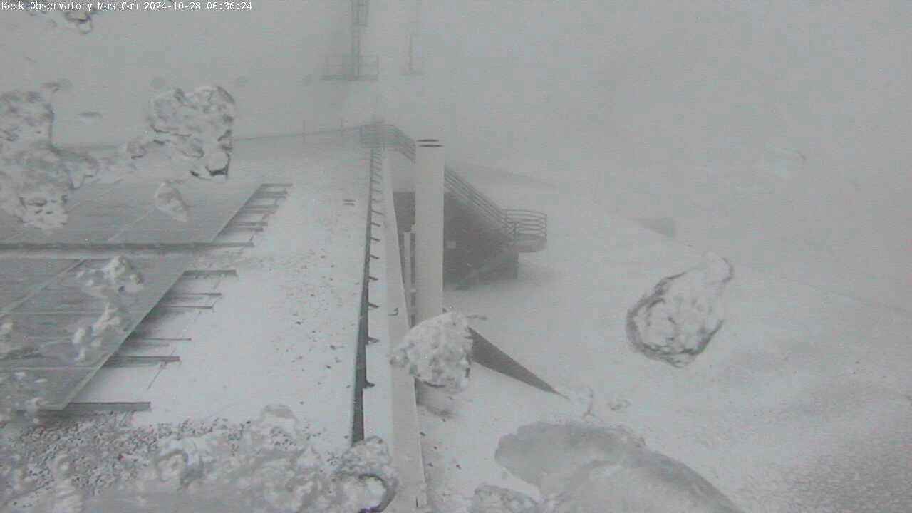
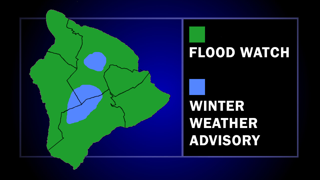
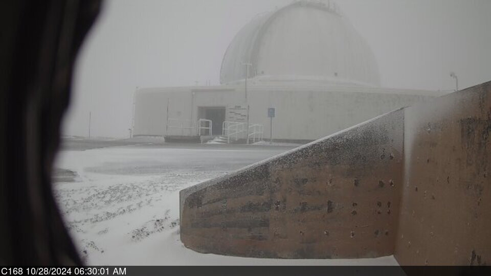
(BIVN) – Deep moisture continues to move over Hawaiʻi island, as both the Flood Watch for the entire island, and the Winter Weather Advisory for the summits, remains in place through this evening.
“An upper low in the vicinity of the Hawaiian Islands is producing unstable conditions within a very moist atmosphere,” wrote the National Weather Service in Honolulu. “This will result in periods of moderate to locally heavy showers. Rain that occurs over already saturated ground could quickly lead to runoff and flash flooding issues.”
The Maunakea access road is closed to the public at the Visitor Information Station, rangers say, due to “snow and below freezing temperatures with developing icy conditions.”
Forecasters say additional snow accumulations up to 3 inches are possible at the summit, mainly in the morning.
“Travel could be very difficult,” the Winter Weather Advisory stated. “Blowing snow will significantly reduce visibility at times, with periods of zero visibility.”
From the Monday morning discussion by the National Weather Service:
The Big Island summits experienced a some light snow accumulation early Sunday before quickly melting away with the rising sun. Current near freezing temperatures will have any pre-dawn precipitation falling as snow right along the summits. Snow accumulations should remain under couple of inches. Any mixed or liquid precipitation above 12k feet may freeze upon contact with colder surfaces and create some light icing issues.


by Big Island Video News6:59 am
on at
STORY SUMMARY
ISLAND OF HAWAIʻI - A Flood Watch is also in effect for the entire Island of Hawaiʻi, as an upper low is producing unstable conditions within a very moist atmosphere.