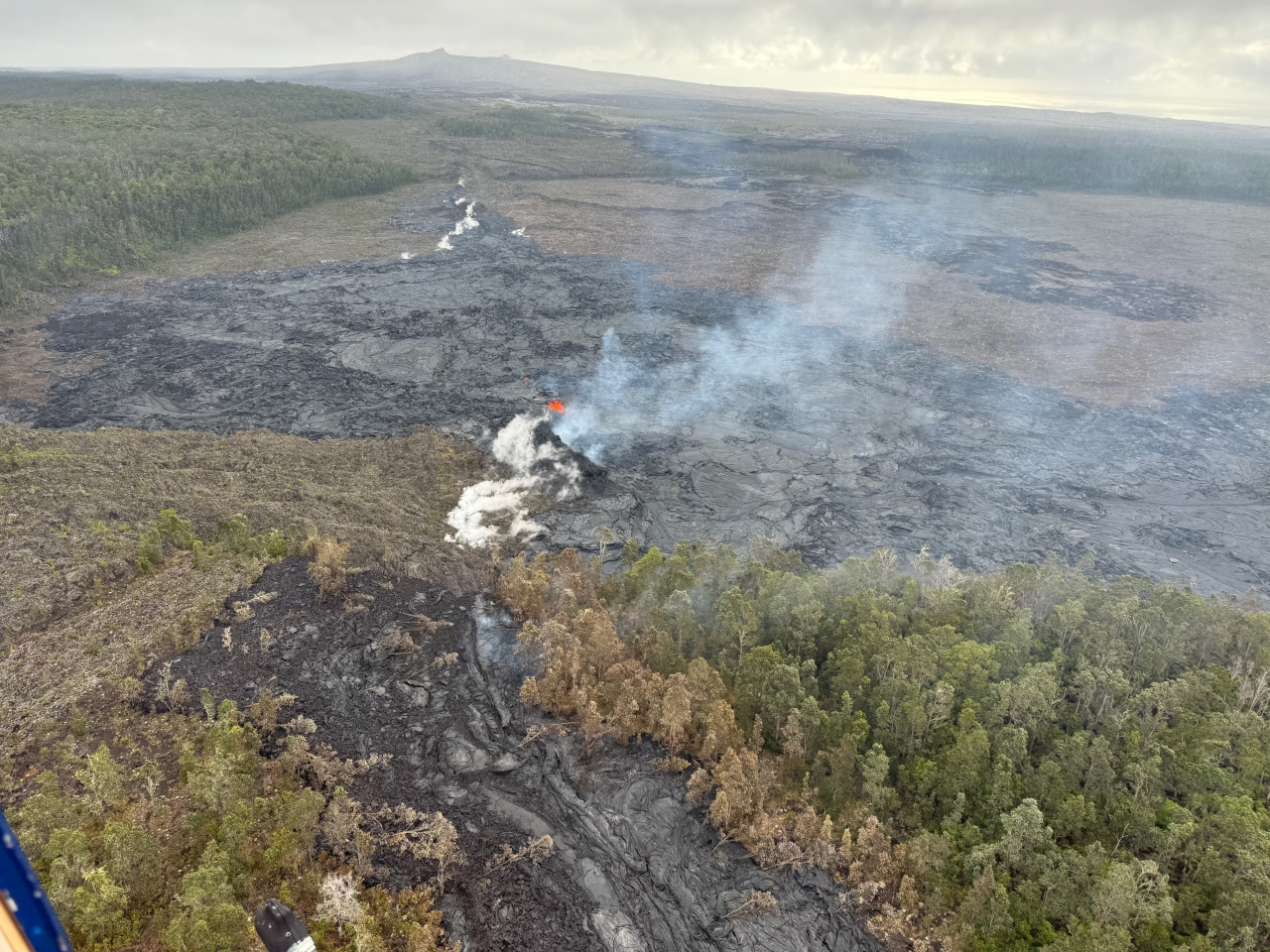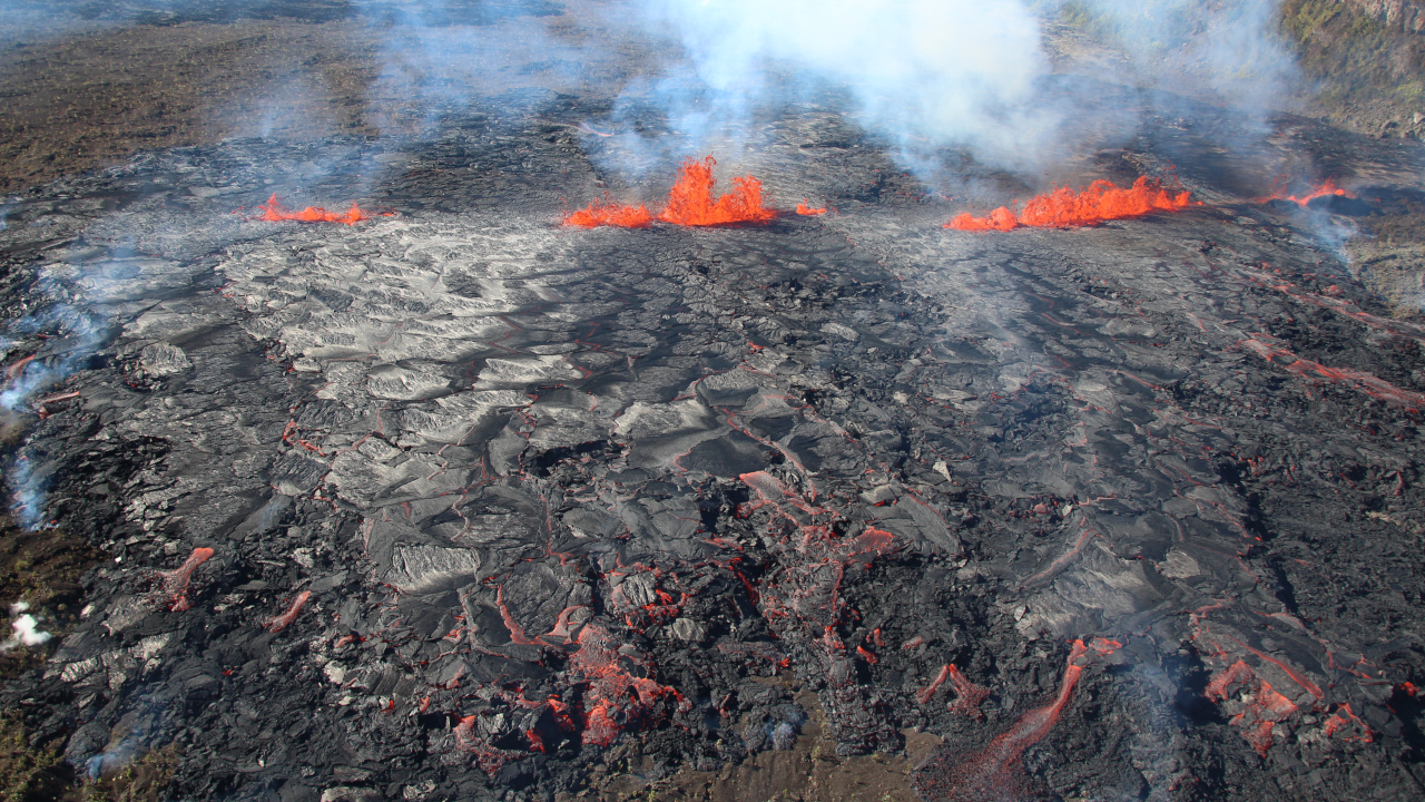
USGS: “During a USGS Hawaiian Volcano Observatory monitoring overflight the morning of September 18, geologists observed only very weak activity at Kīlauea’s middle East Rift Zone eruption site in Nāpau Crater. One vent was active with weak low fountaining in a tiny lava pond and much of the flow field was no longer active, though there was a residual ooze out on a margin of the flow field. A new small pad of lava had formed at west end of the fissure system since the overflight yesterday morning, but it was inactive by the overflight this morning.” (USGS photo by M. Patrick)
(BIVN) – Kīlauea volcano continues to erupt lava on the middle East Rift Zone, although the activity appears to be weak compared to the day before.
The USGS Volcano Alert Level remains at WATCH, although scientists say “the reduced vent activity, drop in gas emissions, and the reduced deflation of Kīlaueaʻs summit suggest that this eruptive phase is waning.”
Chain of Craters Road within Hawaiʻi Volcanoes National Park remains closed due to the eruption. The road is located far downslope and downwind of the eruption.
No changes have been detected in the lower East Rift Zone or Southwest Rift Zone, scientists say.
From the USGS Hawaiian Volcano Observatory on Wednesday morning:
Summit Observations: Approximately 8 earthquakes were detected beneath the Kīlauea summit region over the past 24 hours, at depths of 1–3 km (0.6–1.9 mi) below the ground surface, and with magnitudes of 2 or less. The summit tiltmeter at Sandhill continues to record deflation, while the tiltmeter at Uēkahuna has shown little deflation since noon yesterday. This pattern suggests that only the deeper southern summit magma body is now supplying magma to the middle East Rift Zone. The most recent measurement of SO2 emission rate at the summit was 60 tonnes per day on September 17, 2024.

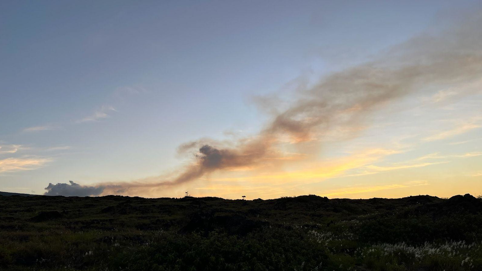
USGS: “An early morning view of the plume of volcanic gas being emitted by the eruption on Kīlauea’s middle East Rift Zone. This view, from Halapē campground on the coast in Hawaiʻi Volcanoes National Park, shows the plume being transported downwind in a southwest direction. Much of the plume consists of sulfur dioxide (SO2), which will mix with air as it moves away from the vent.” (USGS photo by J. Sutton)
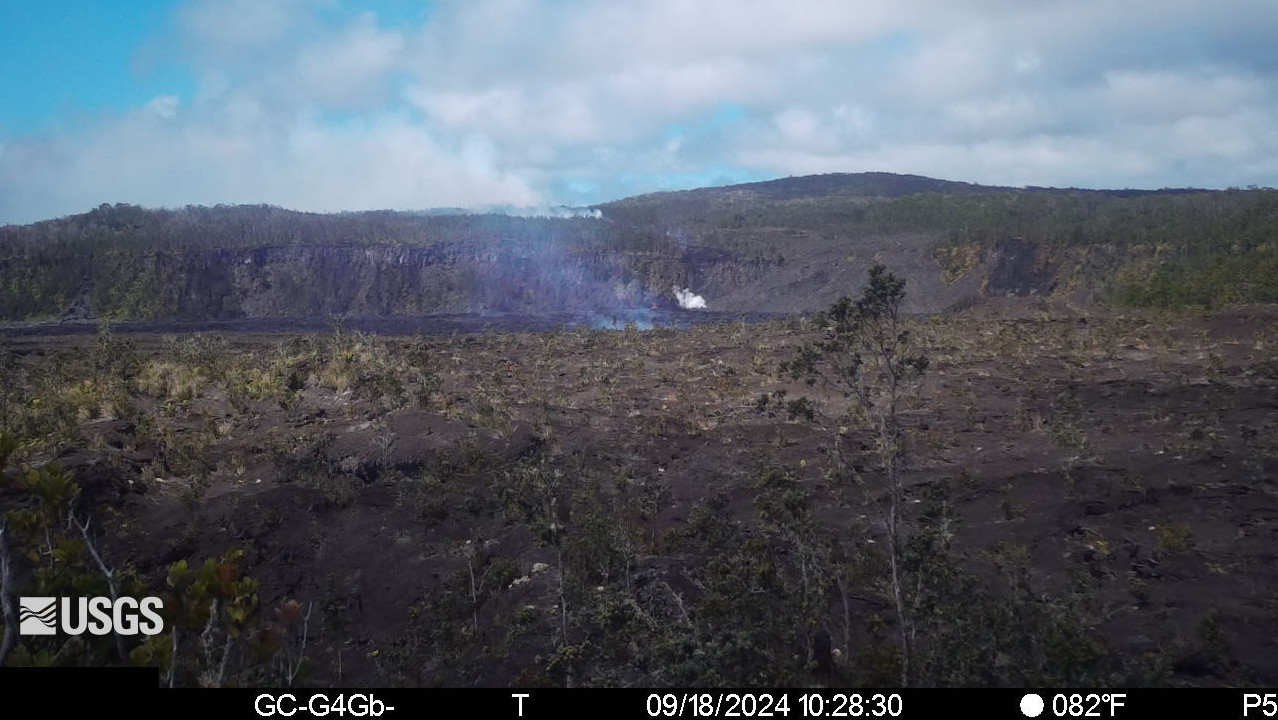
Rift Zone Observations: This morning, only the vents near the western end of the Nāpau fissure appear to have remained active overnight. At the time of this notice, fountaining could not be observed on the S2cam due to thick fume in Nāpau Crater. The fissure system in Nāpau is about 0.5 km long (.3 mi) and cuts east-west across the northern crater floor. The fissure opened just west of Nāpau early on the morning of September 17 and propagated eastward as the eruption progressed. Approximately 25-30% of Nāpau Crater floor has been covered by lava, which is confined to the crater.
Shallow earthquakes continue to be low in the MERZ with about 60 in the past 24 hours. Most of these were to the west and northwest of Nāpau Crater. Tiltmeters in the MERZ continue to show no significant changes. However, daily position solutions from GPS instruments have shown displacements of over 20 cm (8 inches) for several stations in the MERZ. The largest displacement is for station MKAI, just downslope of Makaopuhi Crater, which has experienced 54 cm (1.8 feet) of south-southwest motion since September 14. The combination of large GPS displacements and modest tilt rates suggests that much of the deformation is the result of magma entering a storage region several kilometers (1-2 miles) below the surface.
Sulfur Dioxide (SO2) emission rates measured yesterday, September 17, were 12,000 tonnes per day in the morning and dropped to 3,700 tonnes per day in the afternoon. This may reflect a decrease in effusion rate or be the result of the two easternmost fissure segments becoming less active late yesterday morning leaving only the westernmost vents active.
All activity is currently confined to the middle East Rift Zone between Makaopuhi Crater and Puʻuʻōʻō and there are no indications of any changes further downrift in the MERZ or in the LERZ.
Analysis: The ongoing MERZ eruption in the region of Nāpau Crater is the first in that area since the multi-day 1997 Napau fissure eruption. The eruption is currently in its third phase of vent opening and lava production. Multi-day fissure eruptions are not unusual and at this time it is difficult to say how long the eruptive activity may continue. Currently, the reduced vent activity, drop in gas emissions, and the reduced deflation of Kīlaueaʻs summit suggest that this eruptive phase is waning.


by Big Island Video News11:08 am
on at
STORY SUMMARY
HAWAIʻI VOLCANOES NATIONAL PARK - The eruption of lava continues on the middle East Rift Zone of Kīlauea, although the activity was reported to be very weak.