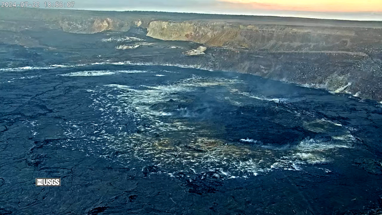
(BIVN) – Kīlauea volcano is not erupting, while increased rates of seismicity and ground deformation are ongoing as of Monday evening.
The uptick in earthquakes began at approximately 11 a.m. on Monday, prompting the USGS Hawaiian Volcano Observatory to issue a Kīlauea Status Report at 12:36 p.m. HST. Since that time, the activity has decreased but remains elevated.
“Currently, there are no signs of an imminent eruption,” USGS HVO scientists wrote, “however, conditions could change quickly.”
The increase in volcanic unrest also prompted several closures within Hawaiʻi Volcanoes National Park. As of Monday evening, the following closures remains in place:
The following temporary closures are in place:
- Chain of Craters Road from the intersection at Devastation parking lot to the coast.
- Kulanaokuaiki Campground is closed.
- Crater Rim Trail south of Nāhuku lava tube is closed.
- Coastal backcountry areas and Nāpau sites are closed. All new backcountry permits for those areas are canceled.
- Escape Road is closed from Nāhuku to Maunaulu.
From the USGS Hawaiian Volcano Observatory update issued at 6:52 p.m. HST:
Over the past 8 hours, there have been approximately 150 earthquakes beneath Kīlauea’s upper East Rift Zone region, extending from Keanakākoʻi Crater southeast to Maunaulu. Activity peaked between noon and 2 p.m. HST, and earthquakes have been occurring at decreasing rates since then. Most earthquakes have been smaller than magnitude-2, though there were 6 events larger than magnitude-3. The largest earthquake was a magnitude-3.5 at 12:08 p.m. HST. Events have remained at depths of 1–3 km (0.6–1.8 miles) beneath the surface. Most earthquakes have been too small to feel, but several were reported felt in Hawaiʻi Volcanoes National Park and surrounding communities.
Earthquake activity has been accompanied by elevated rates and changing patterns of ground deformation in Kīlauea’s upper East Rift Zone. However, tiltmeters in Kīlauea summit region (instruments SDH, southwest of the summit, and UWE, northwest of the summit) do not show significant changes associated with this activity.
The Volcano Alert Level/Aviation Color Code for Kīlauea remain at ADVISORY/YELLOW. HVO continues to closely monitor Kīlauea for signs of increasing activity. Should volcanic activity change significantly, a new Volcanic Activity Notice will be issued.
Rates of seismicity and ground deformation beneath the middle and lower East Rift Zone and Southwest Rift Zone remain low. Current activity is restricted to the summit region and upper East Rift Zone.


by Big Island Video News10:06 pm
on at
STORY SUMMARY
HAWAIʻI VOLCANOES NATIONAL PARK - Over 150 earthquakes shook Kīlauea’s upper East Rift Zone Monday, in an area extending from Keanakākoʻi Crater southeast to Maunaulu.