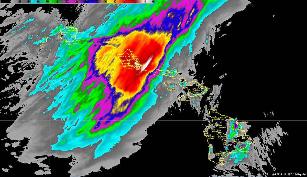
(BIVN) – An unusual, late-season kona low continues to soak parts of the Hawaiian Islands, with most of the heavy rain now moving towards Kauai.
Aside from a High Surf Advisory for south-facing shores, there are no weather advisories posted for the Island of Hawaiʻi, which was largely spared from the heavy rains that drenched the other islands. There was Flood Advisory issued for an interior portion of the Big Island on Thursday.
Hawaiʻi Governor Josh Green issued an Emergency Proclamation ahead of the kona low impacting the state.
The National Weather Service in Honolulu issued this information on the weather event on Friday:
An unusual late-season kona low has produced heavy rainfall over portions of the state during what is normally the start of the Hawaiian Islands dry season. This appears to be the latest kona low to directly affect the main Hawaiian Islands in at least the last 20 years. The last impactful kona low in May was during 2002. Kona lows more typically affect the State of Hawaii from November through March.
The kona low developed several hundred miles north of Kauai on May 15, then moved west and strengthened on May 16. The main rain band from the system moved over Oahu during the early morning hours of May 16, with cells of northward-moving heavy rain moving over the island over the next 24 to 36 hours.
Impacts mainly included minor flooding of streets in multiple areas of Oahu. A rockslide also occurred near the Pali Highway Tunnels on May 16. Gaged streams indicated elevated flow levels, but none overflowed their banks.
The event is ongoing as of this statement. The main rain band has moved west off of Oahu and is approaching Kauai. A potential for flash flooding will persist for Kauai and Niihau through Saturday night.


by Big Island Video News5:29 pm
on at
STORY SUMMARY
HAWAIʻI - The Island of Hawaiʻi was mostly spared from the flooding rains that soaked Oʻahu and are now moving over Kauai and Niʻihau.