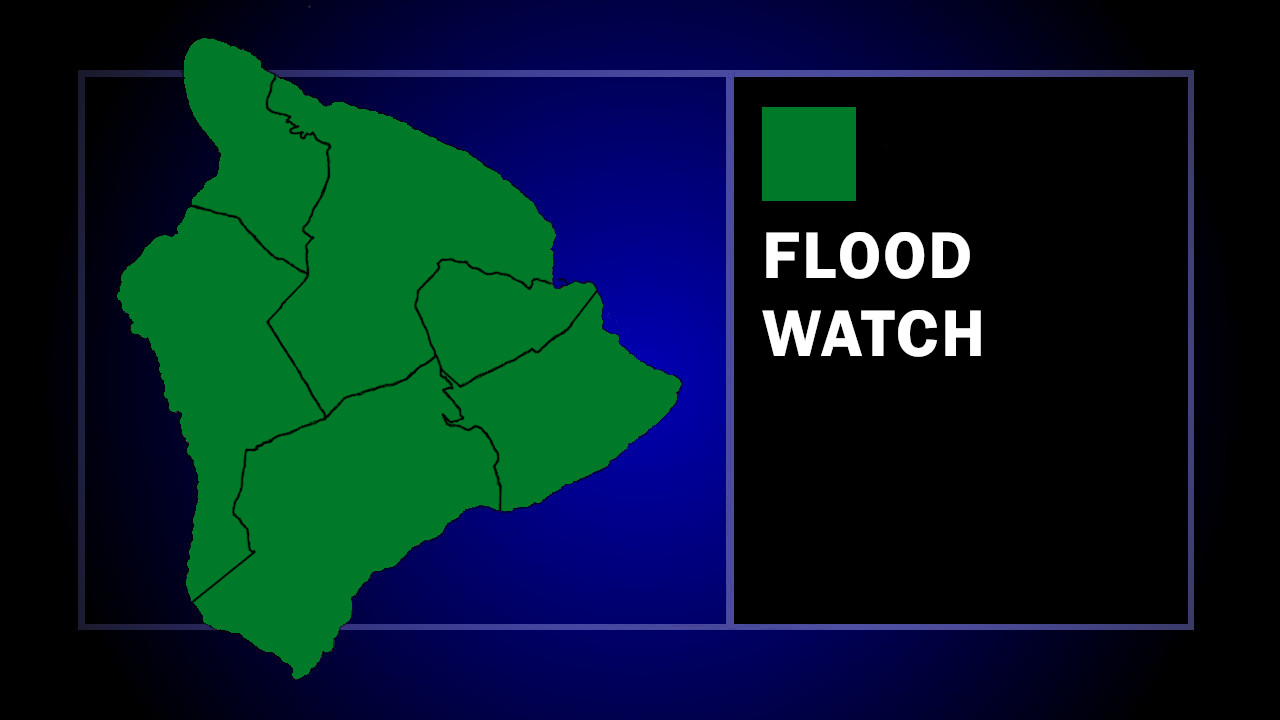
(BIVN) – A Flood Watch has been issued for the entire State of Hawaiʻi, as a new weather system will impact the islands in the later half of the week.
Hawaiʻi island is still trying to dry out from a weekend of heavy rain – and in some areas, flash flooding – as the next round of excessive rainfall could be on the way.
“A kona low developing north of the state will bring the potential for a prolonged period of heavy rain and thunderstorms over portions of the state from Wednesday through Friday and likely continuing through the weekend,” the National Weather Service stated. “Bands of heavy rain will bring a potential for significant flooding, especially in leeward areas.”
The Flood Watch will be in effect starting on Wednesday.
From a National Weather Service discussion posted on Monday evening:
Another strong shortwave digs into the mean longwave trough position near the islands to generate a kona low about 500 mi N of Kauai (near 30N 160W) Tue night. This low is then forecast to strengthen and meander around several hundred miles NW of the islands for the rest of this week. Our low level ESE flow currently will to veer around to southerly on Tue, and remain that way through at least Fri. A large reservoir of deep, moist, tropical air with TPW of greater than 2 inches is lurking about 400 mi or so SW of the islands, and the models bring some of this moisture northward along a developing convergence band over the middle main islands Wed night. After that, the models slowly take the very moist convergence band slowly westward, with another surge of very high TPW air riding up the boundary as we approach the weekend. The GFS has this band mostly west of Kauai by Sat, while the latest ECMWF is a little slower. The eastern end of the state should be not nearly as active, especially once the band starts moving westward.
“I’m a little surprised that deterministic model QPFs are not higher with this band, and a bit perplexed as to why that would be,” wrote Robert Ballard Robert, the Science & Operations Officer for the Honolulu office. “This seems like the type of pattern that would be very favorable for heavy and possibly excessive rainfall. Nevertheless, the probabilistic QPFs from the NBM show some very impressive rainfall rates which does indeed suggest that flash flooding is ia major concern for the latter half of the week, especially given the already wet antecedent conditions.”
“It is possible that by the weekend, one or more active thunderstorm complexes could develop south of the islands, which might impede some of the incoming moisture and help to locally stabilize the airmass over us, but don’t want to give anyone false hope about what appears to be a low-chance possibility,” Ballard wrote.


by Big Island Video News11:46 pm
on at
STORY SUMMARY
HAWAIʻI - Forecasters say excessive rainfall and flash flooding will continue to be a concern for the entire State of Hawaiʻi.