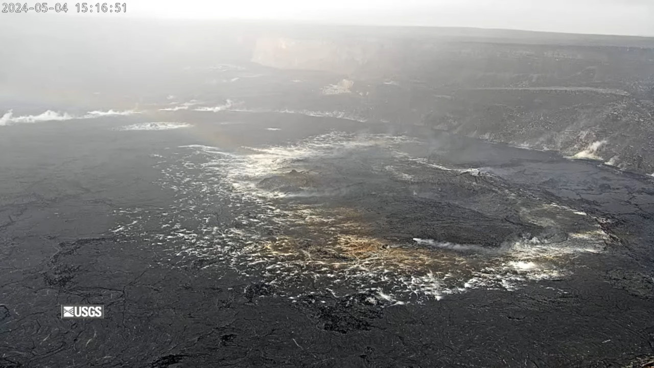
(BIVN) – Kīlauea volcano is not erupting, and scientists reported on Saturday that seismicity has decreased significantly beneath the upper East Rift Zone.
Ground deformation has also “effectively ceased beneath Halemaʻumaʻu”, the USGS Hawaiian Volcano Observatory says.
As it appears the latest pulse of unrest has ended, Chain of Craters Road and other sites in Hawaiʻi Volcanoes National Park have been reopened. Areas accessed by Chain of Craters Road, including coastal backcountry sites, Hilina Pali Road, Kulanaokuaiki Campground, Nāpau, and Pepeiao Cabin are now open, the National Park Service reported. The Kaʻū Desert Trail is also open.
From the USGS Hawaiian Volcano Observatory:
Summit and upper East Rift Zone Observations: Activity has slowed significantly in the past 24 hours. Earthquake counts have decreased significantly with approximately 75 earthquakes in this area in the past 24 hours and 7 in the past 8 hrs. Earthquake locations remain focused primarily from the southeast side of Kaluapele (Kīlauea caldera) beneath Keanakākoʻi crater extending to the intersection with Hilina Pali Road. Earthquake depths remain unchanged, averaging 2-3 km (1.2-1.9 miles) beneath the surface, and magnitudes have not exceeded M2.0 in the past 24 hours. There have been no earthquakes in the caldera south of Halemaʻumaʻu over this same period.
Ground deformation has effectively ceased beneath Halemaʻumaʻu and the south side of Kalaupele and Keanakākoʻi crater. The Uēkahuna tiltmeter has recorded little change in the past 24 hours, after recording a deflationary signal as part of a local deflation-inflation (DI) event beneath Halemaʻumaʻu. The Sandhill tiltmeter has also recorded little change over the same period.
Sulfur dioxide (SO2) gas emission rates remain low. An SO2 emission rate of approximately 62 tonnes per day was recorded on May 2nd.
Rift Zone Observations: All seismic activity on the East Rift Zone is confined to the upper East Rift Zone, with no significant earthquakes occurring past the Pauahi Crater. At this time, seismicity south of Kaluapele and in Kīlauea’s Southwest Rift Zone remains low overall. Measurements from continuous gas monitoring stations downwind of Puʻuʻōʻō in the middle East Rift Zone—the site of 1983–2018 eruptive activity—continue to be below detection limits for SO2, indicating that SO2 emissions from Puʻuʻōʻō are negligible.
Analysis: The consistent decrease in both seismicity and ground deformation over the past 30 hours to background levels indicates that this pulse of unrest has ended. The unrest was driven by magma input to the main magma chamber, which lies beneath the area southeast of Kaluapele and south of Keanakākaoʻi crater. The cessation of inflation, especially at the Sand Hill tiltmeter, suggests that the supply is greatly reduced and no longer pressurizing the magma chamber and producing seismicity. Magma input into the system has changed during the past year from relatively constant to occurring in pulses. Resumption of magma input could occur at anytime and build to another period of unrest, most likely in the upper East Rift Zone, within Kaluapele, or south of Kaluapele where the intrusion occurred in late January-early February.


by Big Island Video News11:58 pm
on at
STORY SUMMARY
HAWAIʻI VOLCANOES NATIONAL PARK - Chain of Craters Road and other previously closed sites are now open as unrest in the upper East Rift Zone returns to normal levels.