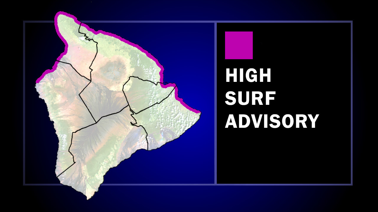
(BIVN) – The National Weather Service in Honolulu has expanded the High Surf Advisory to include northwest and northeast facing shores of Hawaii Island through Saturday evening.
UPDATE – (11 a.m.) – On Saturday morning, the County of Hawaiʻi reported there was water inundation last night at Coconut Island and Onekahakaha Beach Parks in the Hilo due to high surf and high tide, “however, conditions have improved and all beach parks are open at this time.”
Large breaking waves of 6 to 8 feet are expected for northerly exposures from Keahole Point in North Kona, around Upolu Point in North Kohala, to Cape Kumukahi in Puna.
Freocasters say the large north swell has already peaked and will slowly subside through the day today, however a new large northwest swell will fill in late tonight and Sunday.
A Marine Weather Statement has also been issued by the National Weather Service, saying this swell will produce surges at north facing harbors and boat launches, “mainly at Kahului and Hilo.”
“Mariners should use increased caution when entering or leaving port, when mooring, and when launching and retrieving vessels,” the forecasters said.


by Big Island Video News7:13 am
on at
STORY SUMMARY
ISLAND OF HAWAIʻI - The advisory area now includes shores from Keahole Point in North Kona, around Upolu Point in North Kohala, to Cape Kumukahi in Puna.