(BIVN) – A long-theorized link between feral ungulates and the spread of Rapid ʻŌhiʻa Death on Hawaiʻi island is being studied by a team of researchers at the University of Hawaiʻi at Hilo and UH Mānoa.
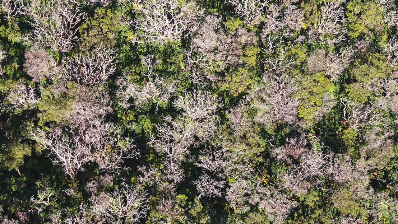
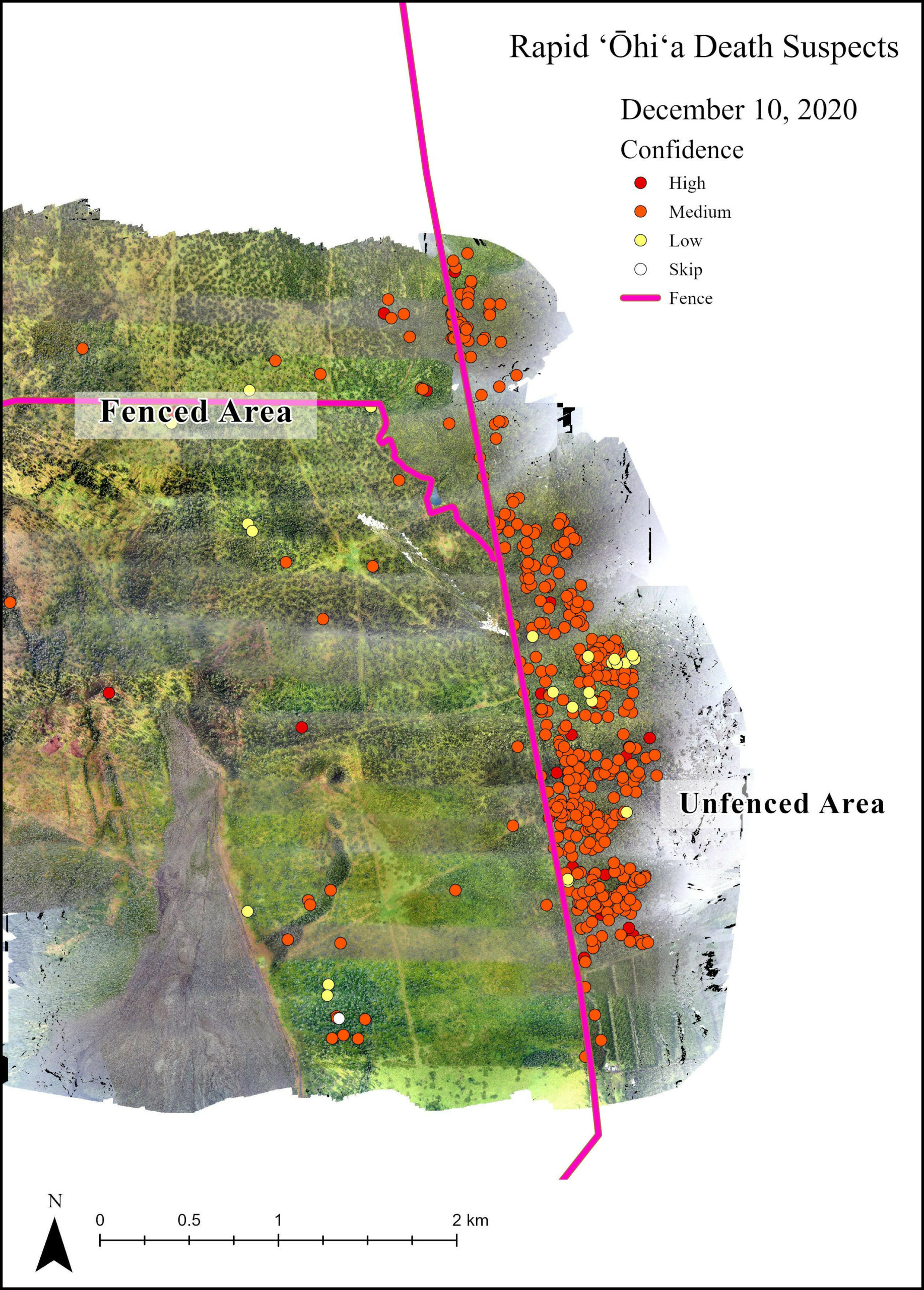
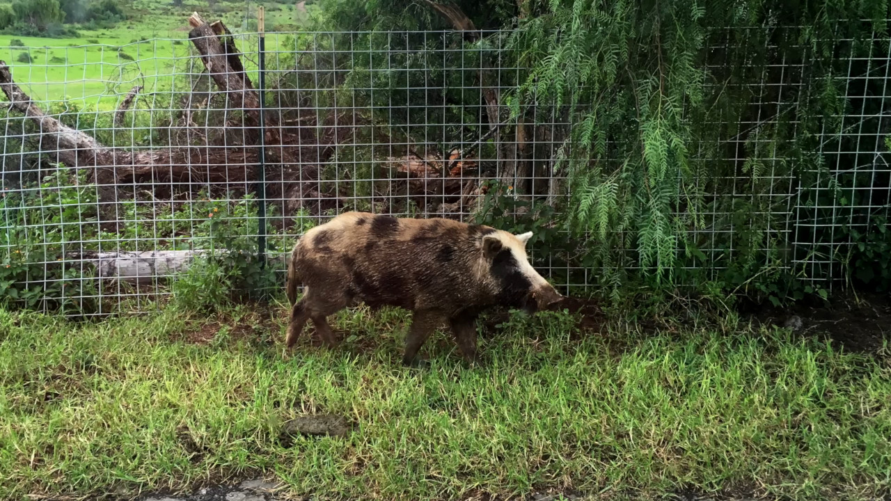
Maps showing areas on Hawaiʻi containing ʻōhiʻa trees that have been hard-hit by the fatal fungus, Ceratocystis lukuohia, were recently released online from a collaborative study involving community, county, state and federal experts. The University says the maps show the destructive role animals such as cattle and pigs can play in infecting ʻōhiʻa, and how fencing can help prevent the spread of the disease.
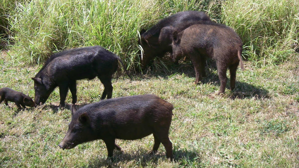
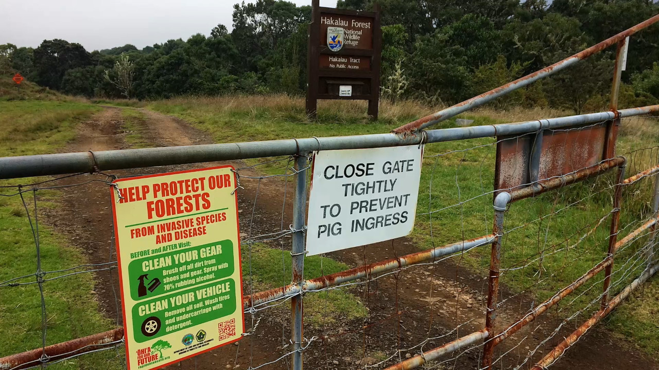
The UH researchers say the animals damage healthy trees by digging up roots and stripping off bark, making the ʻōhiʻa more susceptible to infection by the fungal spores carried in soil or the wind.
From a University of Hawaiʻi news release:
Fence-off Hawaiʻi’s forests
Spatial data, collected using remote-sensing technology, high-resolution satellite and helicopter imagery obtained from January 2019 through January 2023, show a greater spread of ʻōhiʻa die off in unfenced areas hooved animals can access and significantly lower ʻōhiʻa mortality in forest areas where hooved animals are blocked out by fencing. The UH researchers teamed with the Department of Land and Natural Resources (DLNR), Department of Hawaiian Homelands, The Nature Conservancy, National Park Service and U.S. Fish and Wildlife Service to assess data from forested areas within Hāmākua to Kaʻū on Hawaiʻi Island. The project is funded by the DLNR and U.S. Department of Agriculture Forest Service.
“The surveying and monitoring of ʻōhiʻa forests remains one of our team’s top priorities,” said Brian Tucker, a ROD data specialist at UH Mānoa Pacific Cooperative Studies Unit through the university’s Research Corporation. “These observations help guide our research projects, forest management practices and public outreach. We noticed a trend where the forests have less mortality due to ROD when protected from feral animals, especially cattle and pigs. We love our forests and it gives us hope because there are tools available for meaningful action to minimize the most devastating effects of ROD.”
Closer-look at ROD impacts
In October 2022, high-resolution satellite imagery analysis of two equally sized areas across the fenced boundary of Hawaiʻi Volcanoes National Park showed 99% of the 3,398 suspected trees impacted by ROD were in the unfenced area.
Analysis of remote-sensing and high-resolution satellite imagery occurred collaboratively with Tucker and researchers at the UH Hilo Spatial Data Analysis & Visualization (SDAV) laboratory, with UH Hilo student geospatial analyst Naiʻa Odachi performing much of the work. The lab specializes in geospatial technology, which is integral in obtaining aerial imagery to detect ʻōhiʻa mortality at an individual tree level.
“Remote sensing using aerial and high-resolution satellite imagery has allowed researchers to expand monitoring capabilities on Hawai‘i Island,” said Odachi, who is pursuing a master’s in tropical conservation biology and environmental science at UH Hilo. “This imagery is used to identify individual dying ʻōhiʻa trees and can be used to direct field crews for sampling and ultimately lab analysis to confirm ROD infection.”
At the 2023 Hawaiʻi Conservation Conference this summer, Odachi presented ROD investigations she conducted at UH Hilo’s SDAV and won the Outstanding Graduate Student Oral Presentation Award.
This newly published study stems from research first released in 2021 led by UH Hilo Geographer Ryan Perroy, a professor of geography and environmental science and director of the SDAV research lab. Perroy’s team revealed significant differences in areas on Hawaiʻi Island with and without ungulates or hooved animals, suggesting that ungulate exclusion is an effective management tool to lessen the impacts of ROD in forested areas in Hawaiʻi.
“With ʻōhiʻa making up 80% of our remaining native forests, preventing or reducing damage from ROD and hooved animals is critical for protecting our watersheds and only source of fresh water in Hawaiʻi,” said Rob Hauff, state protection forester at Hawaiʻi DLNR Division of Forestry and Wildlife.
ROD spread outlook
ʻŌhiʻa mortality has been observed in every district on Hawaiʻi Island, with some areas showing very high rates of mortality. Outbreaks with significant ROD mortality were also reported on Kauaʻi. This collaborative study is geared toward building upon effective management strategies already in place to help protect Hawaiʻi’s remaining ʻōhiʻa, and increase native forest regeneration and restoration.

by Big Island Video News9:10 pm
on at
STORY SUMMARY
HILO, Hawaiʻi - Newly released maps show the destructive role animals such as cattle and pigs can play in infecting ʻōhiʻa, researchers say.