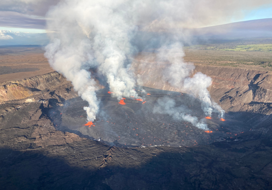
USGS aerial view shows multiple active vent sources and lava flooding the crater floor on June 7, 2023.
(BIVN) – Following this morning’s renewed eruption of Kīlauea volcano, the National Weather Service posted a Special Weather Statement, advising the public that “very light ashfall is expected” for certain areas of Hawaiʻi island until at least 6 p.m. HST.
From the NWS in Honolulu:
Halemaʻumaʻu Crater on the Kilauea Volcano Summit at 19.4N 155.3W produced a burst of volcanic emissions around 4:44 AM HST this morning. This eruption was observed on infra-red satellite imagery. Radar indicates winds will cause any ash emissions to drift towards the west-southwest direction this morning.
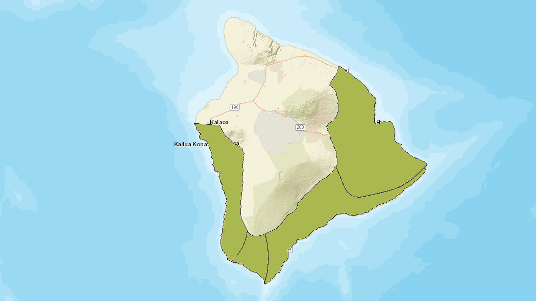
Communities in the Puna, Kau and South Kona Districts may be affected.
Avoid excessive exposure to ash which is an eye and respiratory irritant. Those with respiratory sensitivities should take extra precaution to minimize exposure.
The USGS Hawaiian Volcano Observatory currently has the Kīlauea Volcano Alert Level at WARNING, and the Aviation Color Code at RED, as the possible hazards of the eruption are evaluated. The National Park Service noted there is a temporary flight restriction above Kīlauea caldera of 5,000 feet AGL.


by Big Island Video News12:10 pm
on at
STORY SUMMARY
HAWAIʻI ISLAND - The National Weather Service says possible ash emissions from the volcanic eruption could drift towards the west-southwest this morning.