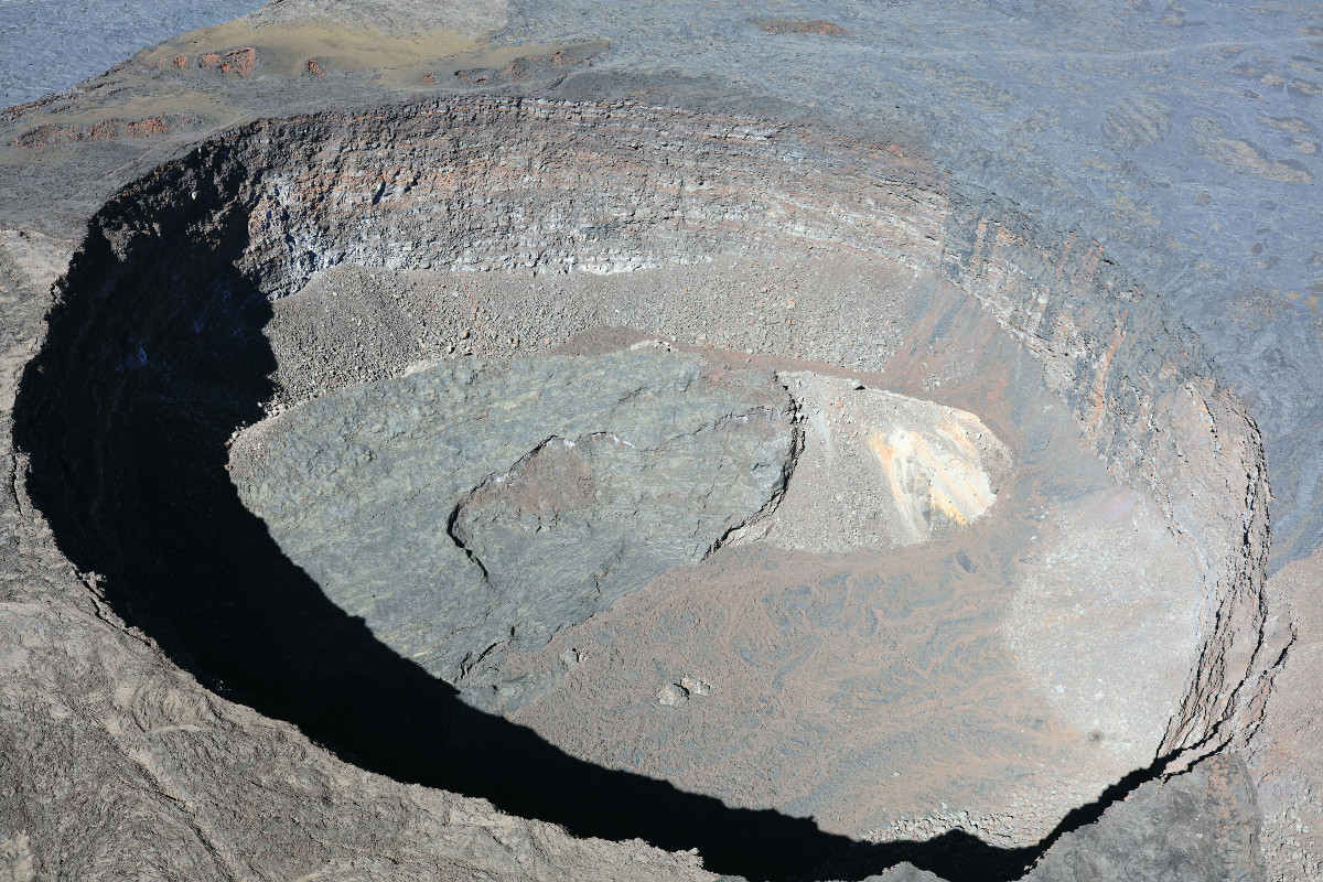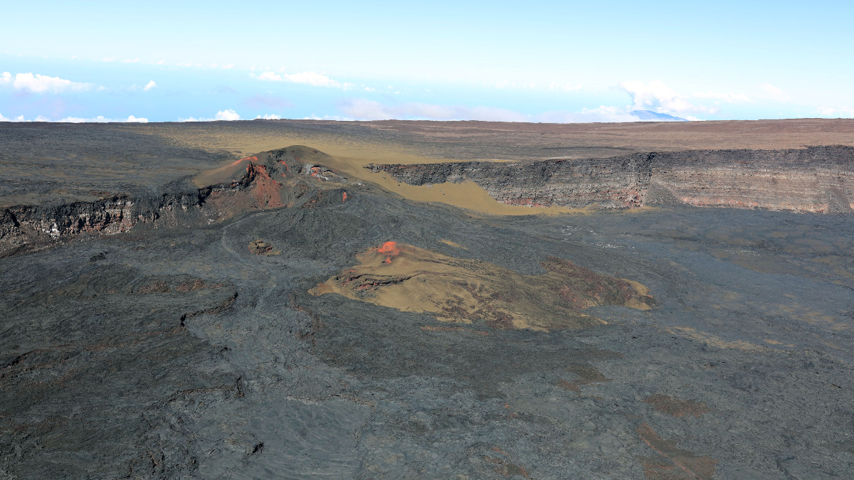
USGS: “Lua Poholo, a pit crater located on the northern side of Moku‘āweoweo, Mauna Loa’s summit caldera, near where the Northeast Rift Zone meets the summit caldera. Part of the pre-collapse floor of the pit crater remained intact as the pit crater formed, and is visible as the slanted slab at the base. Younger lava flows that draped over the edge of the pit crater are visible on the right side of the image, and older fissure vents are visible in the upper left part of the image.” (USGS image by K. Mulliken)
UPDATE – (9 a.m. on Thursday, November 10)
- Mauna Loa is not erupting and remains at an ADVISORY Alert Level.
- The volcano continues to be in a state of heightened unrest as indicated by increased earthquake activity and inflation of the summit. The USGS says the current unrest is most likely being driven by renewed input of magma 2 to 5 miles beneath Mauna Loa’s summit.
- Scientists detected 44 small-magnitude earthquakes below Mokuʻāweoweo caldera and beneath the upper-elevation northwest flank of Mauna Loa during the past 24-hours. A magnitude-3.6 earthquake also occurred northwest of the summit on Wednesday at 6:21 p.m.
From the USGS Hawaiian Volcano Observatory on Thursday, November 10:
Observations: During the past 24 hours, HVO detected 44 small-magnitude (below M3.0) earthquakes 2–3 miles (2–5 km) below Mokuʻāweoweo caldera and 4–5 miles (6–8 km) beneath the upper-elevation northwest flank of Mauna Loa. Both of these regions have historically been seismically active during periods of unrest on Mauna Loa. A M3.6 earthquake also occurred northwest of the summit yesterday at 6:21 p.m.
Global Positioning System (GPS) instruments at the summit and on the flanks of Mauna Loa continue to measure inflation at rates elevated since mid-September. However, tiltmeters at the summit are not showing significant surface deformation over the past week.
Concentrations of sulfur dioxide (SO2), hydrogen sulfide (H2S), and carbon dioxide (CO2), as well as fumarole temperatures, remain stable at the summit and at Sulphur Cone on the upper Southwest Rift Zone. Webcam and thermal camera views have shown no changes to the volcanic landscape on Mauna Loa over the past week.
Narrative: Heightened unrest began in mid-September 2022 with increased earthquake rates below Mauna Loa summit (from 10–20 per day to 40–50 per day), an increased rate of inflation recorded by GPS stations, and inflation recorded on the MOK tiltmeter. The unrest is likely caused by renewed input of magma into Mauna Loa’s summit reservoir system. As the reservoir expands it is triggering small earthquakes directly beneath Mokuʻāweoweo caldera and in a region just to the northwest of the caldera. Deeper magma input (greater than 2 miles, 3 kilometers) is detected by the continued increase in upward movement and extension measured between GPS stations located on the ground surface. Shallower magma input (less than 2 miles, 3 kilometers) was likely responsible for inflation recorded on the summit tiltmeter during the last two weeks of September. Current locations of earthquakes and deformation do not necessarily indicate the location of future eruptive activity.
Mauna Loa remains at an elevated alert level of ADVISORY/YELLOW. The current increase in activity does not suggest that a progression to an eruption is certain, and there are no indications that an eruption is imminent.


by Big Island Video News9:11 am
on at
STORY SUMMARY
HAWAIʻI ISLAND - Mauna Loa is not erupting, although the volcano continues to show signs of heightened unrest.