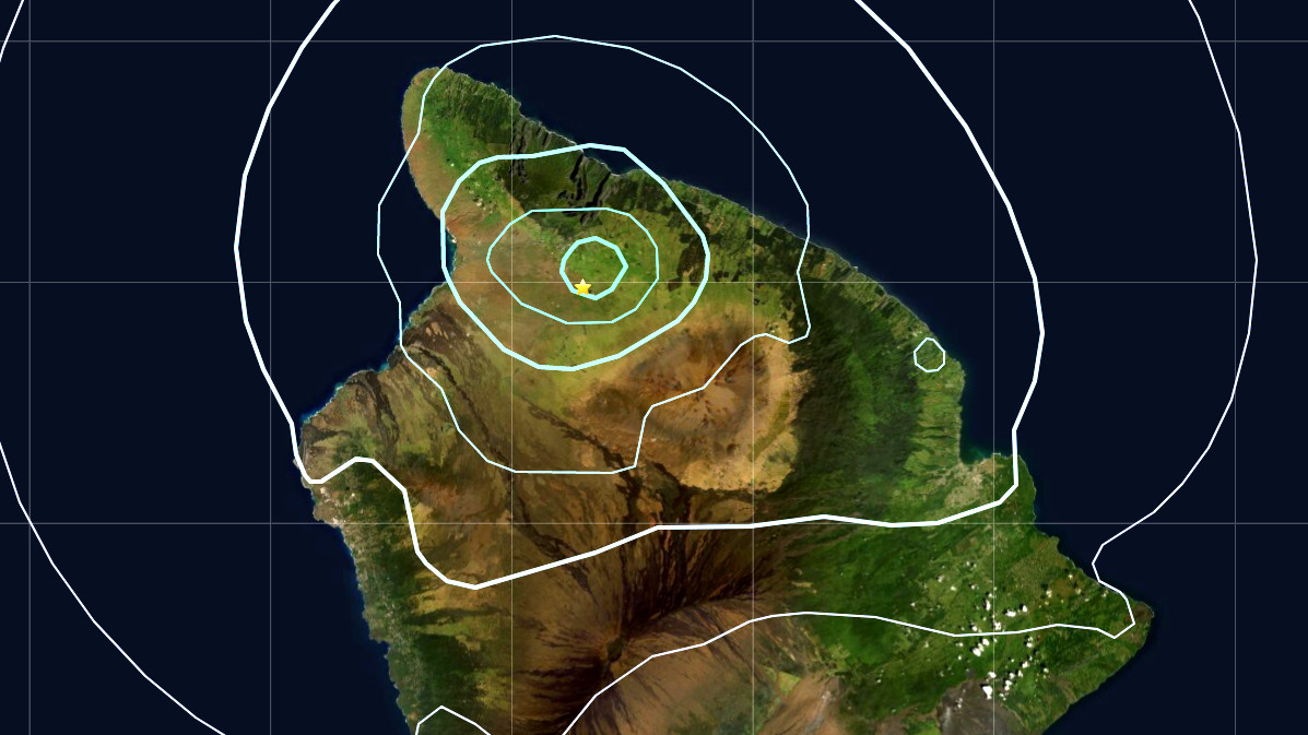
(BIVN) – A magnitude-3.9 earthquake shook the north-side of Hawaiʻi island at 1:17 a.m. on Tuesday morning.
The USGS Hawaiian Volcano Observatory located the quake about 4.7 miles southeast of Waimea, at a depth of about 7 miles. The earthquake location appears to be under the northeast flank of Maunakea.
The USGS HVO “Did You Feel It?” webpage shows over 300 people reported feeling the earthquake, mostly in the South Kohala / North Kohala area. The event was given an estimated intensity of VI, which usually coincides with strong shaking and only light damage.


by Big Island Video News7:02 am
on at
STORY SUMMARY
HAWAIʻI ISLAND - The earthquake, located under the town of Waimea, rattled the north-side of Hawaiʻi island on Tuesday morning.