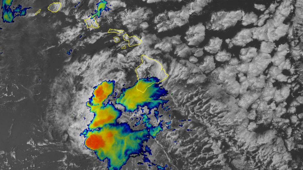
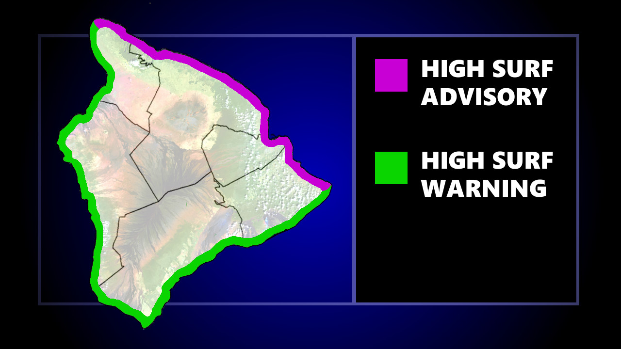
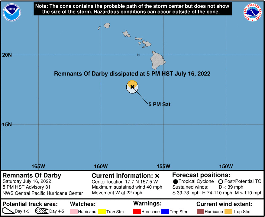
(BIVN) – Darby is no longer a tropical cyclone. Although few impacts are expected from the former hurricane, a High Surf Warning remains in effect with an additional beach closure.
The County of Hawaiʻi says that due to dangerous high surf conditions, Kohanaiki Beach in Kona has been added to the beach closures and no camping will be allowed through Sunday.
Surf heights of 14 to 18 feet, rising to 18 to 24 feet tonight through Sunday night, is being generated by a “historic” south swell out of the 170- to 190-degree direction. The “combination of large surf and regular predicted water levels could lead to flooding of beaches that typically remain dry, especially at and around the peak daily tide,” forecasters said.
A High Surf Advisory for east facing shores also continues to Sunday morning.
Darby is still expected to produce localized rainfall of 1 to 3 inches along portions of East Hawaiʻi, the Central Pacific Hurricane Center said in its final public advisory on the storm. These rains may cause minor flooding especially in low-lying and poor drainage areas, officials say.
“Darby is now expected to become a trough tonight and will have very little impact on Hawaii’s weather,” the National Weather Service said. “Some showers will continue linger over portions of the Big Island for the first half of tonight, but overall showers will be on the downtrend. The Wind Advisory for portions of the Big Island and Maui County has been cancelled. Locally windy conditions will continue tonight, but with wind gusts below advisory thresholds.”
The Central Pacific hurricane season begins June 1 and runs through November 30. Thanks in part to the ongoing La Nina pattern in the Pacific, a below-normal hurricane season is likely this year.


by Big Island Video News7:30 pm
on at
STORY SUMMARY
HAWAIʻI ISLAND - Remnants of Darby are passing southwest of Hawaiʻi island and will have very little impact on Hawaii’s weather, officials reported Saturday evening.