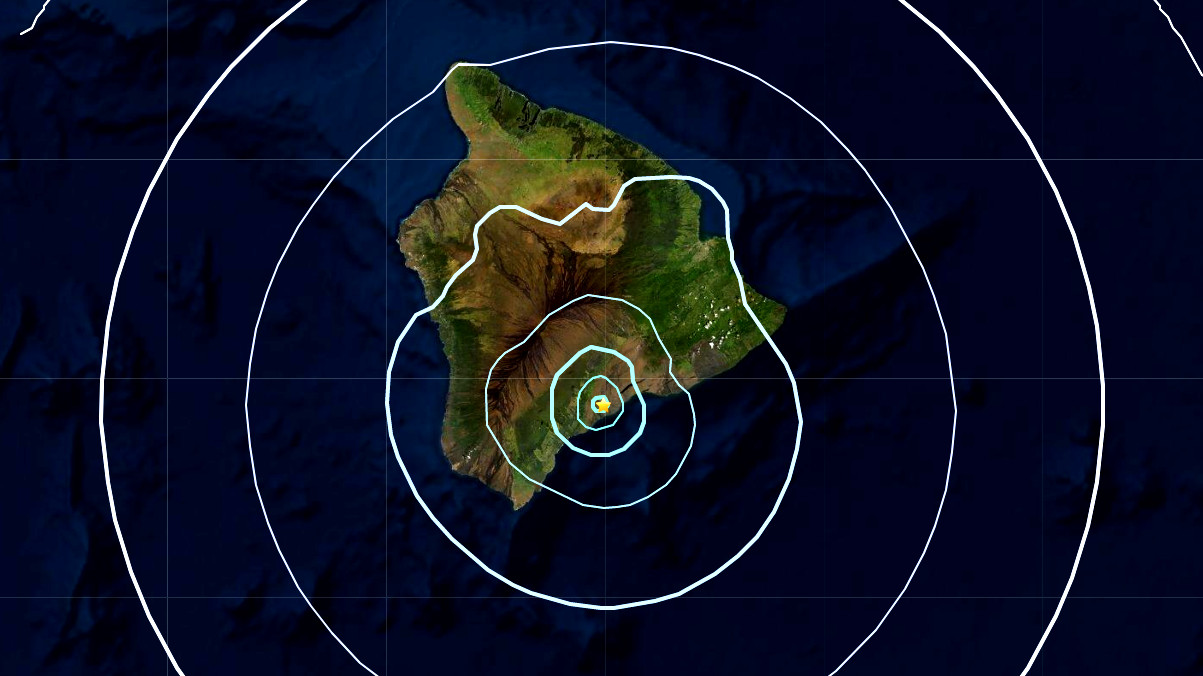
(BIVN) – UPDATED – A Magnitude 4.5 earthquake shook Hawaiʻi island on Thursday.
The earthquake, which occurred at 4:32 p.m. HST, originated 21 miles below sea level, and appears to be part of the ongoing swarm of deep Pahala earthquakes recorded in the region in recent months.
The Pacific Tsunami Warning Center said no tsunami was expected from the earthquake, which was initially measured as a Magnitude 4.3 before it was revised down to a Magnitude 4.1, then revised again to a Magnitude 4.5. Some areas may have experienced shaking, the PTWC said.
The USGS Hawaiian Volcano Observatory shows the earthquake was felt across Hawaiʻi island.
“As in all earthquakes, be aware of the possibility of after-shocks,” the Hawaiʻi County Civil Defense said in a Thursday evening radio message. “If the earthquake was strongly felt in your area, precautionary checks should be made for any damages; especially to utility connections of Gas, Water, and Electricity.”
UPDATE – (5:45 p.m. HST) – An information statement was issued by the USGS Hawaiian Volcano Observatory on Thursday evening, which stated in part:
According to HVO Scientist-in-Charge, Ken Hon, the earthquake had no observable impact on the ongoing eruption at Kīlauea’s summit at the time of this Information Statement. “This earthquake is part of the ongoing seismic swarm under the Pāhala area, which started in August 2019. This earthquake has been the largest to date in the current swarm and was widely felt across the Island of Hawai‘i, and as far away as Maui, Oʻahu, and Kauaʻi. Please be aware that aftershocks are possible and may be felt. HVO continues to monitor Hawaiian volcanoes for any changes. The Alert Levels / Color Codes remain at ADVISORY/YELLOW for Kīlauea and Mauna Loa at this time.”
Earthquakes in this swarm occur beneath Kīlauea’s lower Southwest Rift Zone, beneath the town of Pāhala and in an area extending about 10 km (6 miles) offshore with occur mostly at depths of 25-40 km (15-25 miles). Earthquakes in this region have been observed at least as far back as the 1960s and are posited to be related to deep magma pathways under the island.
USGS says it received over 350 felt reports within the first hour of the earthquake.
There have already been several apparent aftershocks in the deep Pahala region, the largest (so far) being a Magnitude 3.5 that occurred at 6:21 p.m. HST.


by Big Island Video News4:44 pm
on at
STORY SUMMARY
HAWAIʻI ISLAND - The earthquake appears to be one of the deep Pahala earthquakes that have been regularly recorded in beneath the Kaʻū region of the Big Island.