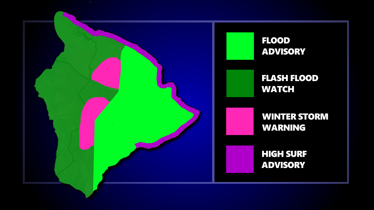
(BIVN) – Monday morning radar indicated heavy rain over the east side of the Big Island, falling at a rate of 2 to 3 inches per hour, as a Flood Advisory is in effect Hilo, Puna, and parts of Hāmākua and Kaʻū.
The National Weather Service in Honolulu has posted a Flash Flood Watch for the entire island of Hawaiʻi, as thick clouds are moving in from the southeast and producing heavy rain over the Big Island. The threat of flash flooding will persist through Tuesday afternoon for the Big Island.
“Flood prone roads and other low lying areas may be closed due to elevated runoff and overflowing streams,” forecasters warned. “Urban areas may receive more significant flooding and property damage due to rapid runoff.”
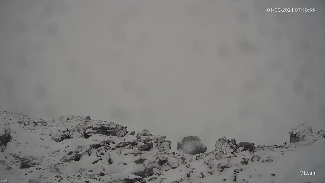
A Winter Storm Warning has also been issued for the summits of Maunakea and Mauna Loa above 11,500 feet. “Moist air and a trough aloft will combine to produce periods of heavy snow between tonight and Tuesday,” the National Weather Service stated. Heavy snow, with additional snow accumulations of up to 12 inches, are expected. Winds may gust as high as 45 mph.
Rangers say the Maunakea summit access road is closed to the public at the Visitor Information Station located at the 9,200 feet elevation.
Hawaiʻi Volcanoes National Park says the Mauna Loa Summit above Red Hill Cabin is closed for day use and overnight camping due to the weather.
A High Surf Advisory has also been posted for east-facing shores of Hawaiʻi island. Surf heights of 7 to 10 feet will be possible.


by Big Island Video News7:20 am
on at
STORY SUMMARY
HAWAIʻI ISLAND - A Flash Flood Watch is in effect for the entire island, but so far the east side of the island has been soaked by heavy rains.