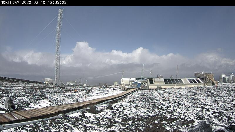
(BIVN) – Maunakea and Mauna Loa got a fresh dusting of snow and ice overnight, and webcams show the frozen precipitation reached as far down as the mid-level area.
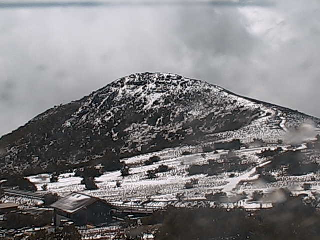
A light layer of snow could be seen at the “MK Visitor Center” cam at Halepohaku, commonly referred to as the Mid-Level area. The spot, located at the 9,300 ft elevation of the 13,800 ft. mountain, is usually without snow even when the summit gets covered.
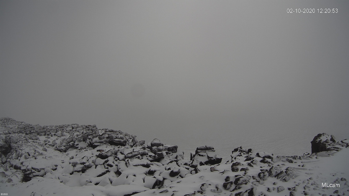
Maunakea could not be seen from the Mauna Loa Observatory webcam at 1 p.m., but the lava in the foreground had a scattered dusting of snow as well. The observatory is located at just over 11,000 ft.
In a 9:27 a.m. HST message, the National Weather Service in Honolulu maintained the Winter Weather Advisory for the Big Island summits until 6 a.m. Tuesday, saying “additional snow accumulations of up to two inches, and ice accumulations of around one-tenth of an inch” are possible. Forecasters said:
Although temperatures may rise above freezing today on the Haleakala Summit, sub-freezing temperatures are expected again tonight, increasing the potential for freezing rain and black ice. Temperatures on the Big Island Summits are expected to remain below freezing through at least tonight, with bouts of wintry weather.
A High Wind Warning is also in effect, and the Mauna Kea Acess Road is closed at Halepohaku. Mauna Loa Summit is also temporarily closed due to the winter weather hazard.


by Big Island Video News1:29 pm
on at
STORY SUMMARY
HAWAIʻI ISLAND - A thin dusting of snow is scattered on the ground surrounding the Mauna Kea Visitors Information Station at Halepohaku as of Monday afternoon.