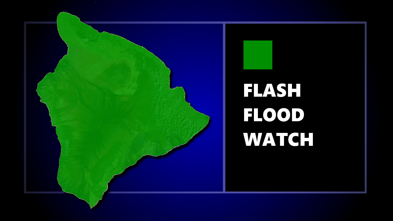
(BIVN) – The National Weather Service says the Flash Flood Watch remains in effect for Hawaiʻi Island, and the rest of the state, through this afternoon.
“An upper level low will remain stationary over the western portion of the island chain though much of today before moving east,” the National Weather Service said this morning. “This will produce unstable conditions across the state, bringing the potential for locally heavy rainfall and flash flooding.”
In an early morning discussion, forecasters wrote:
After an active evening, satellite and radar show heavy showers and thunderstorms have diminished over land within the past few hours, but persist across local waters mainly south of Oahu and within a thin band across and around Kauai. Conditions will remain ripe for showers and thunderstorms through this afternoon. Most of the activity will remain over coastal waters this morning as land breezes persist. Once daytime heating sets in, the risk for heavy rainfall over land increases. Since thunderstorms persist across local waters this morning and the upper low seems to be nearly stationary, we can’t rule out the possibility of heavy rainfall over land today. Therefore, the Flash Flood Watch has been extended for all Hawaiian Islands through this afternoon.
Meanwhile, a new long-period northwest swell that is expected to arrive Wednesday will require an High Surf Advisory for exposed shores of most islands through Thursday, the National Weather Service says. “If peak swell heights are larger than WaveWatch guidance (which is pretty much the norm recently), then surf could approach the 25-foot threshold for a High Surf Warning for north facing shores,” the forecasters said.

by Big Island Video News
on at
STORY SUMMARY
HAWAIʻI ISLAND - Unstable conditions remain in place across the state, bringing the potential for locally heavy rainfall and flash flooding.