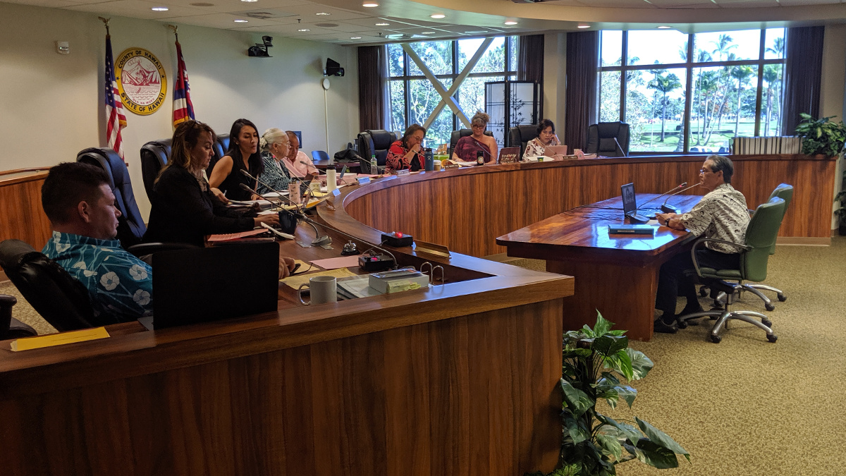
Roy Takemoto did the talking on behalf of the administration’s eruption recovery team today at the council committee meeting in Hilo. Photo by David Corrigan.
NOTE: This story has been updated to include video from today’s council meeting. This page will be updated again later this evening to include information shared during today’s council committee meeting.
(BIVN) – A Kīlauea eruption recovery update is expected to be delivered to a Hawaiʻi County Council committee in Hilo this morning.
Puna councilmember Ashley Kierkiewicz has requested “approximately 30 minutes for an update and discussion with the Recovery Team on the immediate priorities as listed under the Work Plan of the Interim Recovery Strategy.”
The update will be given at 10 a.m. before the council’s Committee on Governmental Relations and Economic Development.
One important update has already been provided to the community. The Hawaiʻi County Department of Public Works posted a Highway 132 status update on October 14, which stated:
- As of Sept. 30, upper section of Highway 132 (1.6 miles): Paving with asphalt concrete base course is complete. Shoulder dressing complete. Sign installation and striping anticipated to start first week of November.
- As of Sept. 30, lower section of Highway 132 (1.5 miles): Paving with asphalt concrete base course is complete. Asphalt surface temperatures are being monitored. Highest current temperature reading is about 160 degrees Fahrenheit. Shoulder dressing about one-third complete. Sign installation and striping to follow.
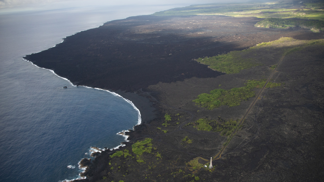
An aerial view looking south and showing the Cape Kumukahi lighthouse and Kapoho area. The 2018 lava flow is the dark region in the top half of the photo. Kapoho Crater is in the upper right corner. (USGS photo by D. Becker on August 29, 2019)

by Big Island Video News
on at
STORY SUMMARY
HILO, Hawaiʻi - It has been one year since the eruption of Kīlauea ended, but the recovery effort in Puna continues.