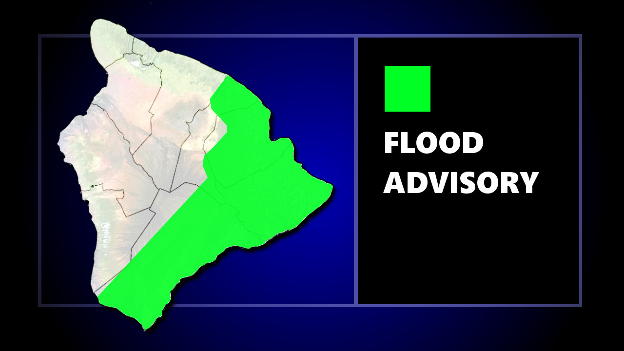
(BIVN) – The National Weather Service in Honolulu has issued a Flood Advisory for the island of Hawaiʻi until 10:45 a.m. HST, as showers have been increasing over the windward Big Island since early Thursday morning.
At 7:46 a.m. HST, radar indicated a band of heavy rain along the Kaʻū Coast and South Hilo districts, forecasters reported. Rain was falling at a rate of 1 to 2 inches per hour.
Locations in the current advisory include but are not limited to Hilo, Naʻalehu, Orchidlands Estates, Pepeʻekeo, Keaʻau, Oʻokala, Hawaiian Paradise Park, Kawa Flats, Pāhoa, Hawaiian Acres, Glenwood and Hawaiʻi Volcanoes National Park.
In a 4 a.m. discussion, the National Weather Service stated:
Latest satellite and radar imagery is indicating showers increasing over the windward Big Island. This mornings sounding from Hilo had a precipitable water value of 2.16 inches with no trade wind inversion. Although, we have deep tropical moisture present and a conditionally unstable atmosphere, we are missing a strong upward forcing in the upper atmosphere due to a ridge of high pressure sitting over the state in the mid levels. That being said, it will not take much for heavier showers and embedded thunderstorms to develop today through tonight, but it will likely be isolated to select areas. Which is the main reason why we have held off from issuing any Flash Flood Watches with this latest package.
“Besides the threat for locally heavy showers, the deep tropical moisture is expected to bring uncomfortable humidity through Friday,” forecasters added.


by Big Island Video News8:09 am
on at
STORY SUMMARY
HAWAIʻI ISLAND - A Flood Advisory remains for parts of Hāmākua, Hilo, Puna and Kaʻū on Thursday morning, as deep tropical moisture continues to move over the island.