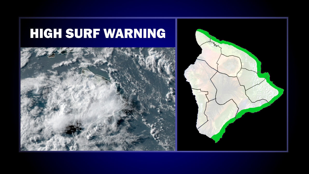
(BIVN) – A High Surf Warning was issued for east-facing shores of Hawaiʻi Island on Monday, while the Flash Flood Watch for the entire island has been cancelled.
At 3:36 p.m. HST, the National Weather Service in Honolulu said the remnants of former Tropical Cyclone Barbara were centered about 120 miles south of the Big Island, and moving toward the west at around 15 mph.
“Moisture associated with Barbara are providing for numerous showers to fall over windward sections of the Big Island and east Maui with just a few passing showers elsewhere mainly over windward and mauka areas of the other islands,” the National Weather Service said. “The threat of widespread heavy showers over the Big Island appears to have ended thus the Flash Flood Watch has been cancelled.”
At the same time, forecasters say the pressure gradient between high pressure northeast of the area and Barbara has caused trade winds to increase. “Thus a Wind Advisory is posted through the evening hours for portions of the state mainly over and downwind of terrain as well as near coastal headlands,” the National Weather Service said.
East winds of 25 to 35 mph with higher gusts can be expected for most of the Big Island through 8 p.m. Monday evening.
Earlier today, wind gusts were blamed in a power outage that affected about 51,000 Hawaiʻi Electric Light Company customers.
“Faults on two transmission lines along the Hamakua Coast disconnected independent power producer Hamakua Energy from the grid and caused a sudden loss of generation,” a HELCO media release stated. “Service to most customers was restored within 30 minutes and service to the remaining customers was restored by about 1:30 p.m.
“The cause of the line faults is under investigation but it’s likely they were caused by wind gusts blowing tree debris onto lines,” HELCO said.
Meanwhile, the combination of strong trade winds and a large, east swell generated by former Tropical Cyclone Barbara is bringing dangerous surf to the east facing shores of the Big Island through tonight.
According to the National Weather Service discussion posted at 3:36 p.m. HST:
The large east swell from Barbara will continue to produce dangerous surf along east facing shores of the Big Island. Earlier today, we received a observation of 15 to 20 foot surf on a east facing shore of the Big Island. The Hilo buoy continues to hold strong this evening, but upstream buoys are indicating a steady decline to begin tonight as the trough moves away from the area. A High Surf Warning is in effect for east facing shores of the Big Island through tonight and is expected to drop to advisory levels on Tuesday.
Surf heights should lower to 10 to 15 feet early Tuesday morning, forecasters say.
All County beach parks remained open today, the Hawaiʻi County Civil Defense said.


by Big Island Video News6:12 pm
on at
STORY SUMMARY
HAWAIʻI ISLAND - The threat of widespread heavy showers over the Big Island appears to have ended, the National Weather Service said, as the remnants of former Tropical Cyclone Barbara passes to the south.