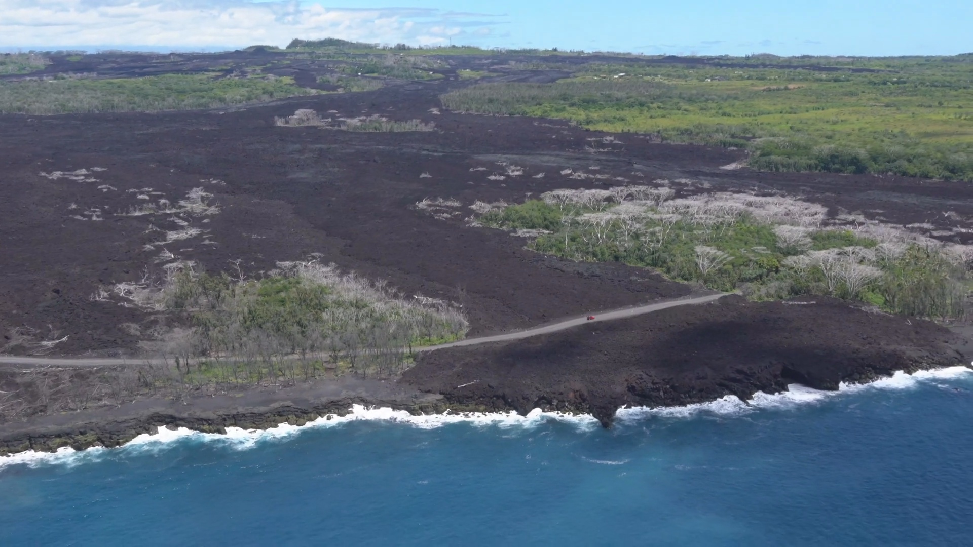
The temporary road to Pohoʻiki
(BIVN) – The Hawaiʻi Department of Defense Public Affairs Office recently released video showing an aerial survey flown over Kīlauea Volcano.
U.S. Air National Guard video recorded on May 10, 2019 by Tech. Sgt. Andrew Jackson provides a bird’s eye view over the Fissure 8 lava flow, the vacant Puʻu ʻŌʻō vent, and the collapsed Halemaʻumaʻu summit crater.
The video is also a study on new roads: the “Poineer Road” paved over the Fissure 8 channel that opened access to Puna Geothermal Venture and the Halekamahina kipuka residents, the temporary road to Pohoʻiki, and the Chain of Craters Road hastily constructed last year as an emergency route through Hawaiʻi Volcanoes National Park.
Kīlauea Volcano is not erupting. USGS Hawaiian Volcano Observatory scientists say “monitoring data from the past nine months have shown steady rates of seismicity, deformation, and low rates of sulfur dioxide emissions at the summit and East Rift Zone, including the area of the 2018 eruption.”

by Big Island Video News1:32 am
on at
STORY SUMMARY
HAWAIʻI ISLAND - The aerial survey of Hawaiʻi Island's Kīlauea Volcano was performed by the U.S. Air National Guard one year after the destructive 2018 eruption on the lower East Rift Zone.