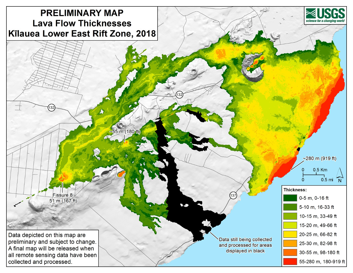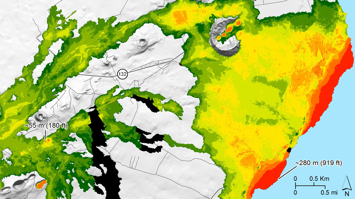
(USGS) Data depicted on this preliminary map of Kīlauea lower East Rift Zone lava flow thicknesses are subject to change. A final map will be released when all remote sensing data have been collected and processed.
(BIVN) – The USGS Hawaiian Volcano Observatory has published the first map on its website since the final days of the eruption of Kīlauea Volcano on the Lower East Rift Zone; a preliminary map showing lava flow thicknesses.
During the summer of 2018, lava flows erupted from 24 fissures in and around Leilani Estates, “which buried an area of about 35.5 sq km (13.7 sq mi) and added about 875 acres of new land to the island,” USGS scientists say.
The lava flows vary in thickness across the flow field, USGS says. “The greatest thickness on land, at fissure 22, is approximately 55 m (180 ft),” the scientists said, “and the greatest thickness in the lava delta (new land created where lava entered the ocean) is approximately 280 m (919 ft).”
The new map is a work in progress. Lava flows displayed on the map in black mean that data is still being collected and processed.
The previous map, showing a thermal view of the fissure system and lava flows, was published on August 15, 2018. “This summer’s dynamic situation in lower Puna presented its own unique set of cartographic (map-making) challenges,” a November Volcano Watch article stated, “which kept HVO and other U.S. Geological Survey staff on their toes for over three months.”


by Big Island Video News10:25 pm
on at
STORY SUMMARY
HAWAIʻI ISLAND - Data collected by scientists shows the greatest thickness is in the Kapoho-area lava delta, which was measured at 919 feet.