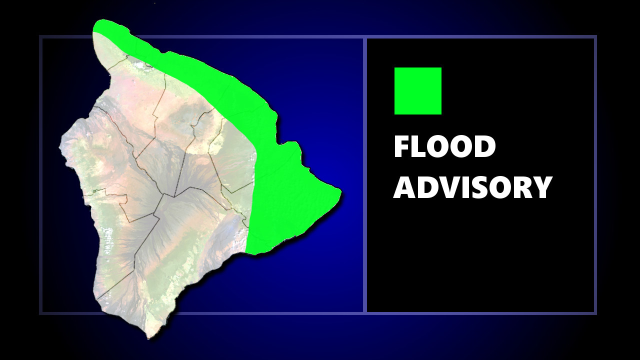
UPDATE – The Flash Flood Warnings have been discontinued, but a Flood Advisory is still in effect for parts of East Hawaii until 5:30 p.m. HST. At 2:34 p.m. HST, radar indicated heavy rain from Kalapana to Volcano. Rain was falling at a rate of 1 to 2 inches per hour.
UPDATE – At 1:04 p.m., the area under a Flash Flood Warning was expended. “Radar indicated a thunderstorm producing heavy rain near Hilo,” the National Weather Service said. “The storm is nearly stationary. Rain was falling at a rate of 2 to 3 inches per hour. Flash flooding is expected to begin shortly. Locations in the warning include but are not limited to Hilo, Hawaiian Acres, Orchidlands Estates, Hawaiian Paradise Park, Pepeekeo, Keaau, Honomu, Mountain View, Papaikou and Glenwood.”
(BIVN) – At 12:32 p.m. HST, a Flash Flood Warning was issued for a small area in East Hawaii.
At 12:30 p.m. HST, radar indicated a thunderstorm producing heavy rain near Wainaku, or near Papaikou. The storm is nearly stationary. Rain was falling at a rate of 2 to 3 inches per hour. Flash flooding is expected to begin shortly.
Heavy rains are occurring during this period, Hawaii County Civil Defense stated. “Thunder and lighting is occurring or has already occurred,” officials said. “Remember, if lightning does threaten your area, the safest place to be is indoors.”
At 11:22 p.m. a Flood Advisory was issued for a large area of East Hawaii. At 11:17 a.m. HST, radar indicated heavy rain along the northeast through east slopes of the Big Island. Rain was falling at a rate of 1 to 2 inches per hour.
Locations in the advisory include but are not limited to Hilo, Paauilo, Waipio Valley, Kukuihaele, Hawi, Pepeekeo, Keaau, Honokaa, Pahoa and Kapaau.
“Showers may become heavy at times with isolated thunderstorms developing as the trough passes through the island chain, elevating the possibility for localized flooding,” the National Weather Service stated just before 10 a.m. HST. “The heaviest showers developing upstream of the islands are not numerous enough for a flood watch at this time. However, flood advisories may be needed later today as bands of showers move into each island. The highest coverage for showers will continue to favor windward and mountain areas. Consider postponing outdoor activities near windward and mountain areas due to the potential for locally heavy rain and thunderstorms.”


by Big Island Video News12:59 pm
on at
STORY SUMMARY
HAWAII ISLAND - Showers will be heavy at times Saturday, with isolated thunderstorms developing as a trough passes through the island chain, elevating the possibility for localized flooding.