(BIVN) – Emergency officials report that eruptive activity remains at reduced levels at Kilauea Summit and the lower east rift zone.

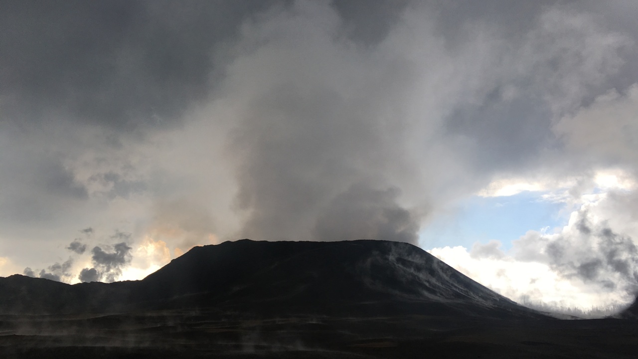
A small lava pond remains in the Fissure 8 cone. “Observations yesterday show the pond to be mostly crusted over with a small area glowing,” civil defense said. “Fissure 8 along with other fissures continue to release gas.”
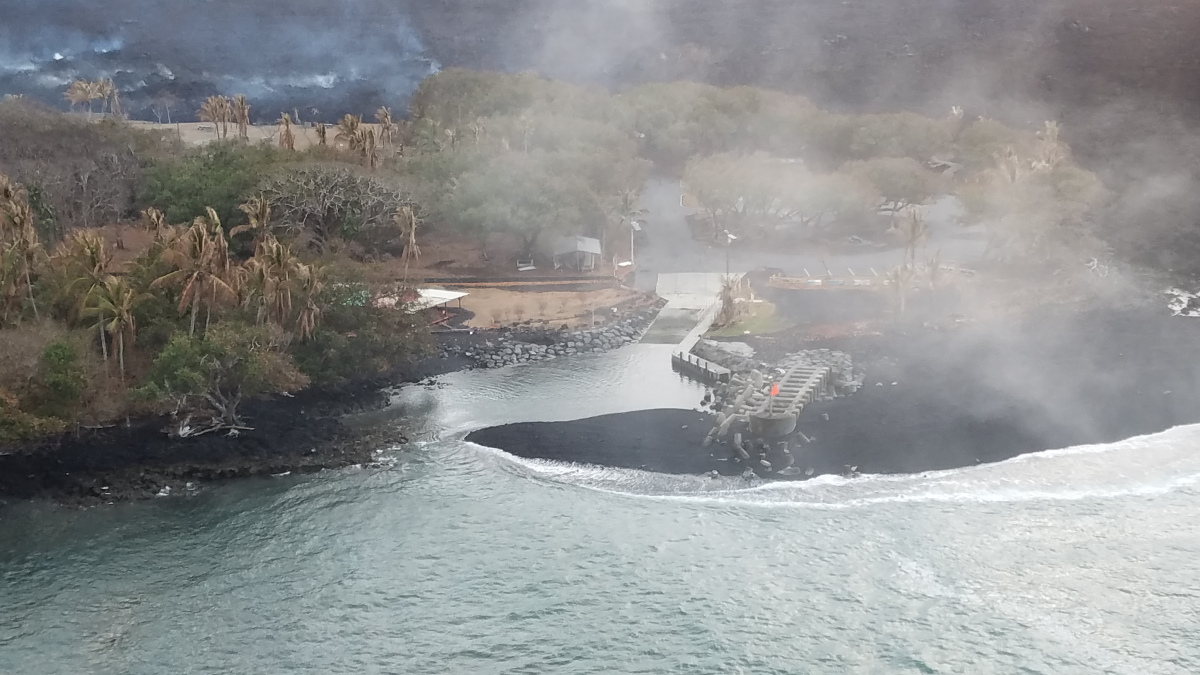
Lava was reported oozing at several points along the Kapoho Bay and Ahalanui coastline creating a wispy laze plume.
According to the USGS Hawaiian Volcano Observatory:
SO2 emissions from the summit, Pu῾u ῾Ō῾ō , and the Lower East Rift Zone are all at low levels. LERZ emissions on August 5-6 were ~ 200 tons/day; Pu῾u ῾Ō῾ō emissions on August 6-7 were 200-300 tons/day, and Summit emissions when last measured on July 19 were around 100 tons/day. This SO2 release represents the lowest SO2 emitted from Kīlauea for over a decade.
Despite the low emission rates, SO2 plumes were blown toward populated areas in east Hawai’i by SE winds on August 9, and many individuals reported detecting the smell of sulfur. Weather conditions contributed to this, but in addition, as the eruption vents cool down, small amounts of H2S are generated. The human nose can detect H2S at very low levels, adding to the overall perception of increased sulfur emission.
“Although a lull in activity continues, it is common for eruptions to go through periods of diminished output, or to pause completely, only to reactivate days or weeks later, or longer,” civil defense stated. “Activity could occur at any time. Residents should remain informed and heed Hawaii County Civil Defense messages and warnings.”
Civil defense says the following guidelines remain in effect:
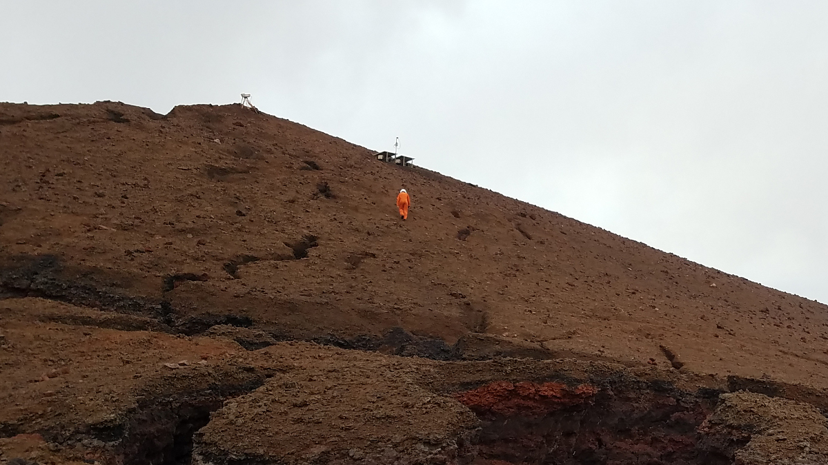
- Do not access the flow field due to extreme hazard. Lava eruption could resume at any time.
- Motorists on Highway 11 between the 28 and 32 mile markers are advised to stay on the pavement, be alert for changes in road conditions, and drive with caution.
- The plates on Highway 130 are stable. Motorists are reminded to slow down while traveling through the area.
The Disaster Recovery Center, located at the Pahoa Community Center is closed today but will be open tomorrow.