graphic by BIVN
(BIVN) – The County of Hawai‘i has taken the unusual precaution of closing all county parks on Saturday, and telling residents they should “consider canceling or postponing outdoor activities”, as a storm system is expected to impact the Big Island this weekend.
A Flash Flood Watch is now in effect for Hawai‘i Island, the National Weather Service in Honolulu says, from Saturday morning through late Saturday night. “A developing area of low pressure south of the state will spread deep moisture and unstable conditions across the Big Island. Periods of heavy rainfall and thunderstorms may result in flash flooding.”
Forecasters say “damaging straight line winds of 60+ mph and isolated tornadoes” are “not out of the question”.
A High Wind Warning is currently in effect for the summits of Mauna Kea and Mauna Loa, and a Winter Storm Watch will also be in effect starting 6 a.m. Saturday.
“West winds increasing to 60 to 80 mph with gusts up to 100 mph for the Big Island summits,” the National Weather Service reported. “Driving will be extremely difficult if not impossible at times. Travel to the summits should be postponed until the strong winds subside.”
Tomorrow, heavy snow is possible above 12,500 feet. Storm total accumulations in excess of 6 inches may occur, forecasters predict.
Hawai‘i County Civil Defense is not taking any chances. Parks have already been shut down for Saturday.
These advisories have been issued:
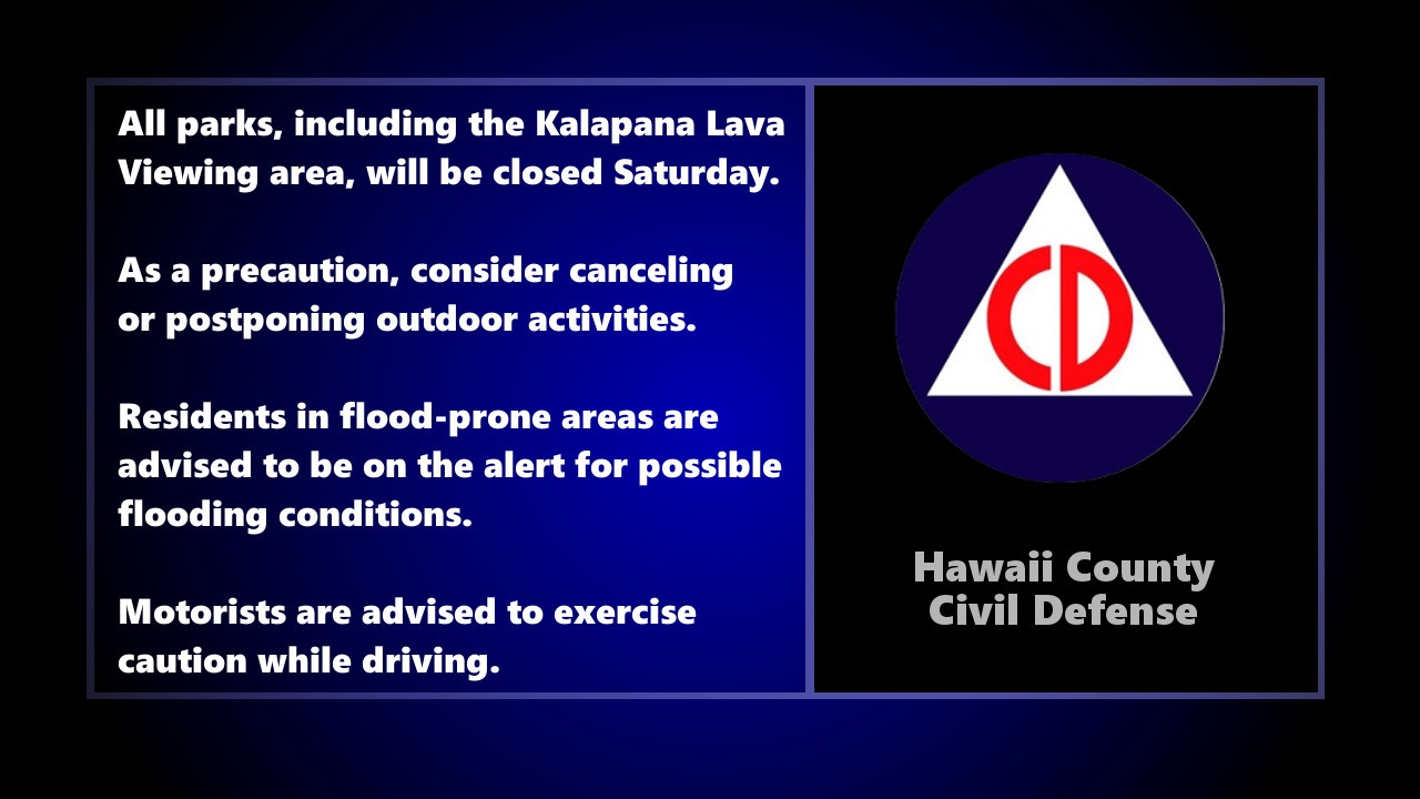
- Department of Parks and Recreation reports all parks, including the Kalapana lava viewing area, will be closed Saturday.
- As a precaution, consider canceling or postponing outdoor activities.
- Residents in flood-prone areas are advised to be on the alert for possible flooding conditions.
- Motorists are advised to exercise caution while driving. Road closures may occur without notice.
- Be on the alert for possible malfunction of traffic signals. Treat flashing traffic lights as a four-way stop.
- Remember, if lightning threatens your area, the safest place to be is indoors.
- Expect possible interruptions in your utility services.
- Take measures to secure items around your property that may be affected by strong winds.
- Complete all preparations before nightfall.
This National Weather Service “Area Forecast Discussion for Hawaii” was written at 3:53 p.m. HST:
Across the Big Island, scattered showers are expected across windward areas tonight, with isolated showers possible in leeward locales. Rain is then expected to increase in coverage and intensity on Saturday with showers continuing into the evening before decreasing after midnight.
As far as flooding potential goes, the combination of deep tropical moisture surging northward in advance of the pair of low pressure troughs along with strong forcing for ascent, could result in some heavy rainfall and thunderstorms across the islands. The most probable time frame for flash flooding across the smaller islands is expected tonight through Saturday, so will adjust the timing of the Flash Flood Watch to run through 6 PM Saturday. Heavy rainfall is expected to hold off tonight across the Big Island before increasing on Saturday. As a result, have adjusted the Flash Flood Watch timing to run from 6 AM Saturday through 6 AM Sunday for the Big Island.
In addition to the potential for heavy rainfall, there is a threat for severe weather mainly across the Big Island as the lead trough of low pressure moves through. Model solutions show plenty of deep layer shear, with 45-55 knots in the 0-6 km layer to support organized convection. The limiting factor will be surface based instability, with Most Unstable (MU) CAPE values in the 500 to 1000 J/KG range. The other factor that lowers confidence about severe weather occurring is that the model solutions have shifted quite a bit from the previous run regarding location where the severe weather potential would be highest. That said, based on the latest guidance, the highest probability of severe weather appears to be across the Big Island, with damaging straight line winds of 60+ mph and isolated tornadoes not out of the question. As a result, have included a mention of possible severe thunderstorms across the Big Island Saturday afternoon and Saturday evening.
Finally, the summit weather on the Big Island will likely go down hill tonight. H6 winds are expected to increase significantly, and a High Wind Warning has been issued through 6 AM Sunday. Additionally, with the deep moisture moving through, there is the potential for heavy snow at the summits. This remains a little uncertain given summit level temperatures around or a little above freezing. Nevertheless the potential appears to be there for a heavy snow event, so a Winter Storm Watch has been issued running from 6 AM Saturday through 6 AM Sunday.
Sunday through next Friday, Conditions should improve across the islands on Sunday as a surface low intensifies north of the state. A weak wind regime will remain in place Sunday through the first half of the week, with light trades returning by late next week. As a result, we should see a more convective weather pattern featuring daytime shower development over the interior and leeward sections of the islands, with shower activity remaining offshore or near the coast at night.
CORRECTED an unfortunate typo in the article

by Big Island Video News5:39 pm
on at
STORY SUMMARY
HAWAII ISLAND - A Flash Flood Watch is in effect for the Big Island, while a High Wind Warning and Winter Storm Watch is in place for the summits.