UPDATE (3:48 p.m.) – At 3:41 p.m HST, a strong thunderstorm was located between Honokaa and Waimea, or about 33 miles northwest of Hilo. This storm was moving northeast at 25 mph.
Wind gusts up to 50 mph and dime size hail are possible with this storm.
Locations that may be affected by this storm include Honoka’a and Paauilo.

LIVE radar courtesy NWS in Honolulu
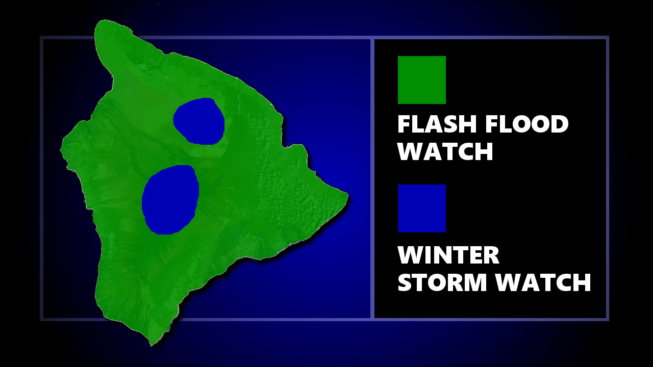
(BIVN) – The National Weather Service in Honolulu has expanded the Flash Flood Watch in effect for the western islands earlier today to include the Big Island heading into this evening.
Forecasters say that through Wednesday afternoon, heavy rains may persist long enough for runoff to produce flash flooding. “Conditions may develop that lead to torrential rain,” the National Weather Service stated. “Where torrential rains occur, flash flooding of poor drainage areas, streams, and low lying areas will be possible. Flash flooding is very dangerous.”
At 3:11 p.m., a Flood Advisory was specifically issued for parts of West Hawaii util 6:15 p.m. HST. The National Weather Service reported:
At 309 PM HST, radar indicated heavy rain near Puuanahulu. Rain was falling at a rate of up to 3 inches per hour. Locations in the advisory include but are not limited to… Pololu Valley, Kohala Ranch, Puuanahulu, Hawi, Halaula, Kamuela, Kapaau, Kawaihae, Puako, Waikoloa Village, Waimanu Valley and Waipio Valley.
A deep trough will keep the atmosphere moist and very unstable with flooding rains likely, forecasters say. The same deep trough has also brought cold temperatures to the summits of Mauna Kea and Mauna Loa. “As this moisture spreads up to the summits, heavy snow is possible,” forecasters say.
A Winter Storm Watch has been issued for the summits. The National Weather Service says total snow accumulations of 2 to 4 inches, with localized amounts up to 10 inches, are possible.


by Big Island Video News3:49 pm
on at
STORY SUMMARY
HAWAII ISLAND - The Big Island is now under a Flash Flood Watch, with a Winter Storm Watch in effect for the summit areas.