USGS PHOTO: Pu‘u ‘Ō‘ō is degassing in the upper center of the photo, and Mauna Kea (right) and Mauna Loa (left) are visible behind it.
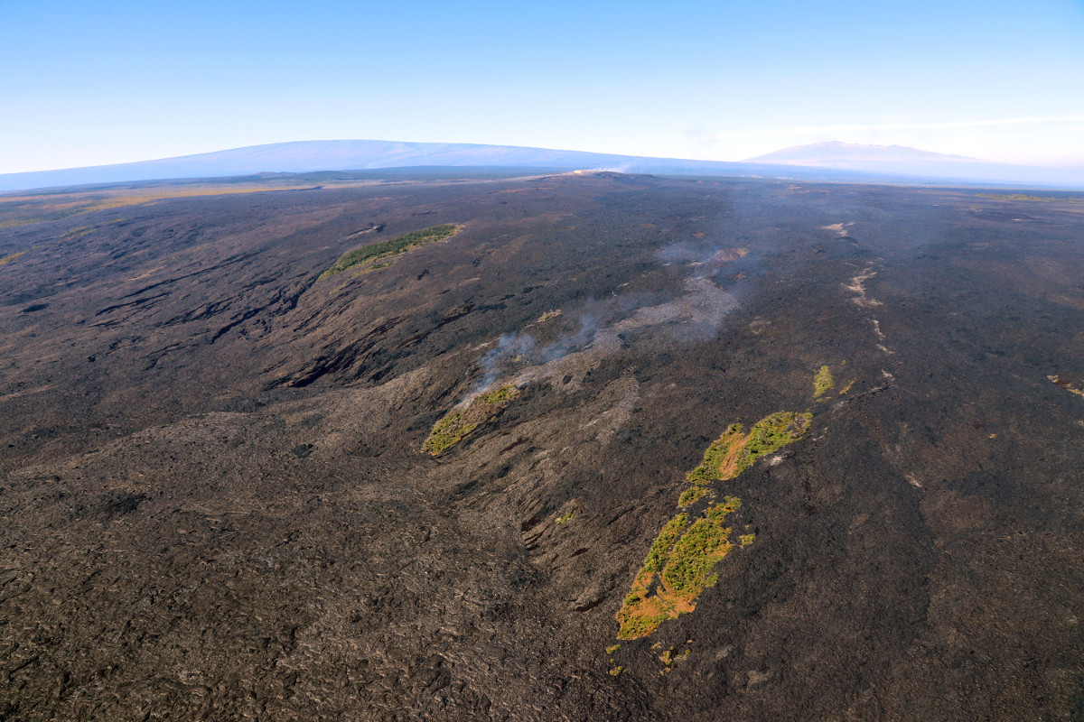
(BIVN) – While no significant changes are evident at Puʻu ʻŌʻō on Kilauea’s East Rift Zone, scientists report a breakout from the upper Pūlama Pali area is sending surface flows into the kipuka on the steep part of the pali. The flows are burning the vegetation as they continue downslope through the isolated, forested area.
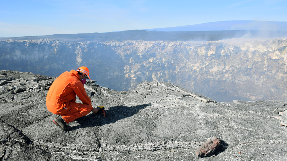
The USGS Hawaiian Volcano Observatory took advantage of Tuesday’s sunny and clear conditions, visiting the ongoing Pu‘u ‘Ō‘ō eruption site, and posting some new photos to its website.
They also mapped the active areas and produced this new thermal map of the lava flow field.
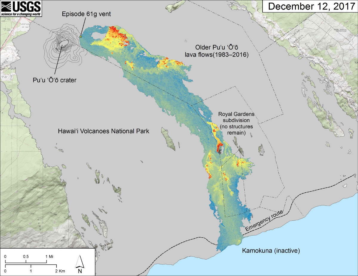
USGS: This map is similar to the map above but shows a thermal map over the Episode 61g lava flow. Cooler colors (blue and green) show cooled, inactive portions of the flow surface. Hot colors (red and orange) show areas of active surface breakouts.
Scientists say surface flows remain active on the coastal plain, with the closest active breakouts approximately 1.2 miles from the emergency road. These lava flows pose no threat to nearby communities at this time.
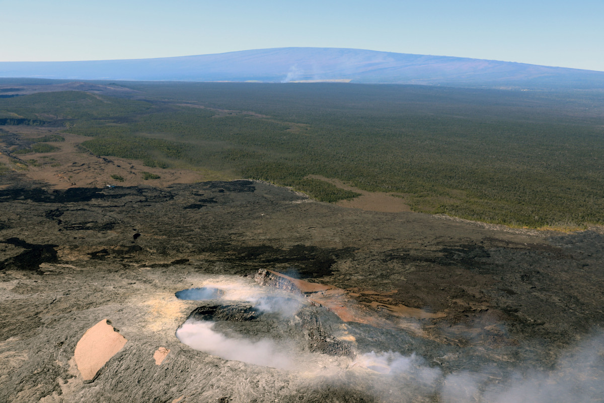
USGS PHOTO: Pu‘u ‘Ō‘ō is degassing in the upper center of the photo, and Mauna Kea (right) and Mauna Loa (left) are visible behind it.

by Big Island Video News
on at
STORY SUMMARY
HAWAII VOLCANOES NATIONAL PARK - A new breakout came over the pali Monday morning and continues, scientists reported today, as new photos over the East Rift Zone were published to the USGS HVO website.