HAWAII VOLCANOES NATIONAL PARK – While the episode 61g lava flow remains active and continues to enter the ocean at Kamokuna, weak surface breakouts are creeping along on the coastal plain,.
The breakout along the east side of the 61g flow has advanced approximately 620 yards since it was last mapped on February 14, scientists with the USGS Hawaiian Volcano Observatory report.
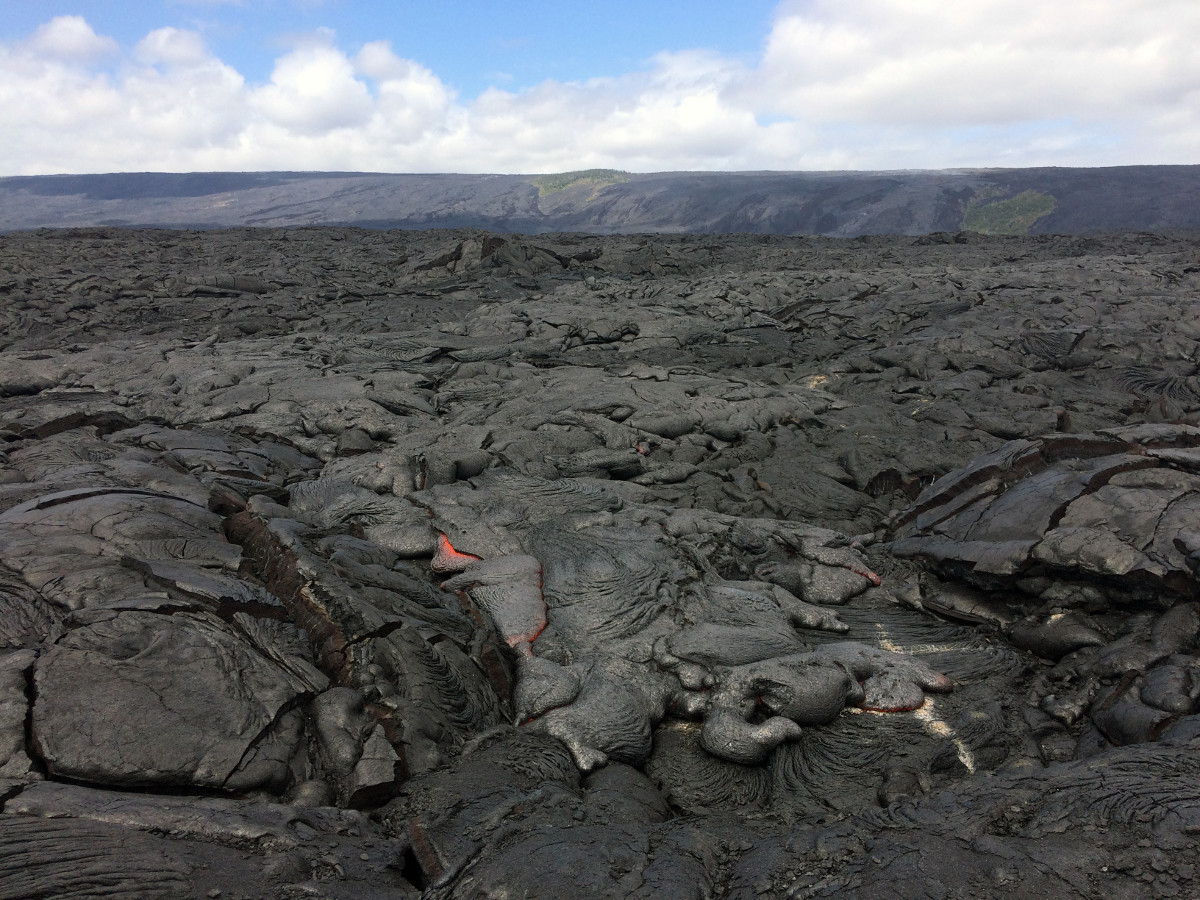
“The flow front consisted of sluggish, oozing pāhoehoe that was approximately 730 m (0.5 miles) from the ocean and 540 m (0.3 miles) from the emergency route road,” USGS stated on Thursday.
“Channelized lava flows have been recently reported on Pūlama pali, but no active channels were seen by HVO geologists while working in the area” Wednesday afternoon, scientists said. “They did, however, observe scattered breakouts on the pali.”
None of these flows pose a threat to nearby communities at this time, the USGS says.
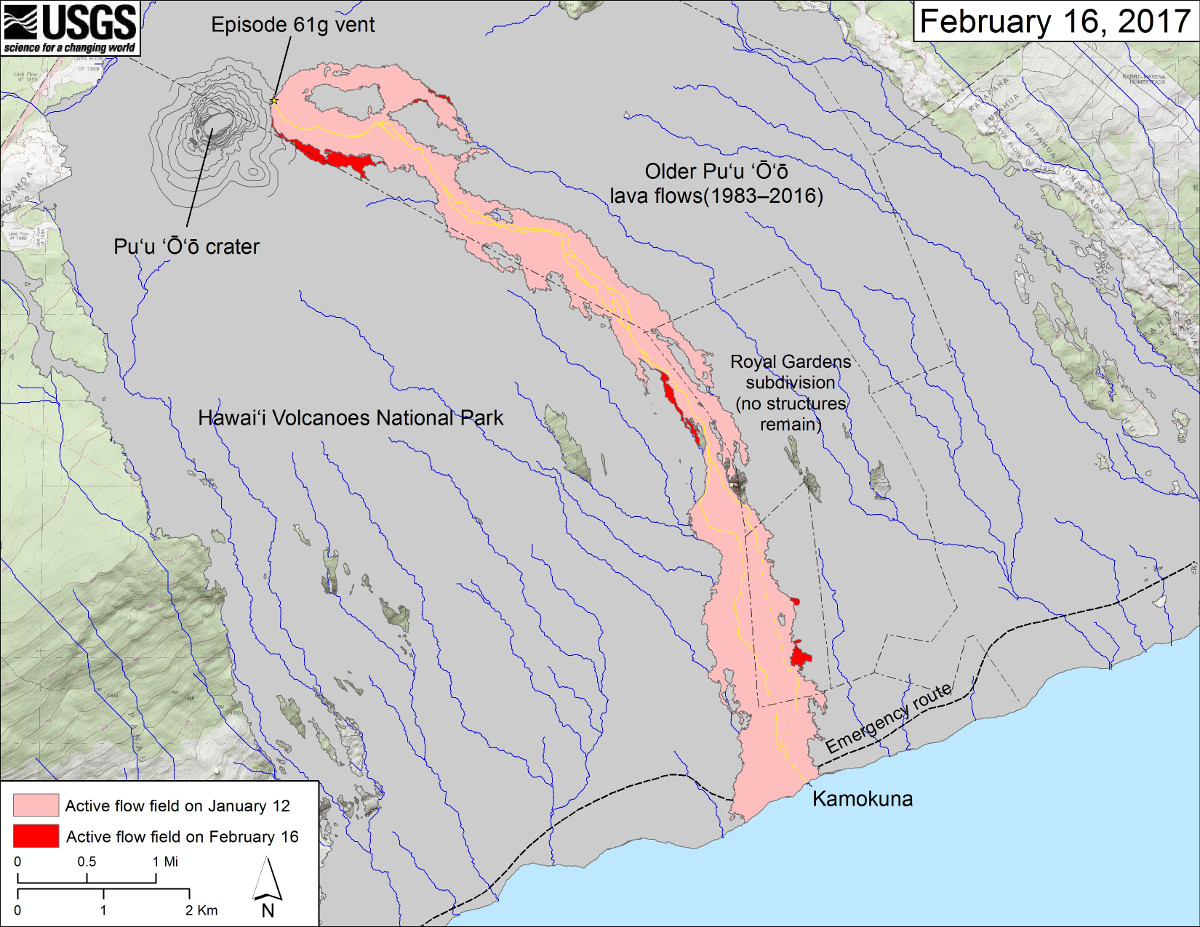
(USGS map) This map shows recent changes to Kīlauea’s East Rift Zone lava flow field. The area of the active flow field as of January 12 is shown in pink, while widening and advancement of the active flow as of February 16 is shown in red. Older Puʻu ʻŌʻō lava flows (1983–2016) are shown in gray. The yellow line marks the trace of the active lava tube (dashed where uncertain).

by Big Island Video News
on at
STORY SUMMARY
HAWAII VOLCANOES NATIONAL PARK (BIVN) - Slow moving lava is less than half a mile from the FEMA emergency road, as the Kamokuna ocean entry remains active.