UPDATE (2:30 p.m. HST) – Weather forecasters have issued a new Flood Advisory, which now covers the entire Island of Hawaii, in effect until 4:45 p.m. HST.
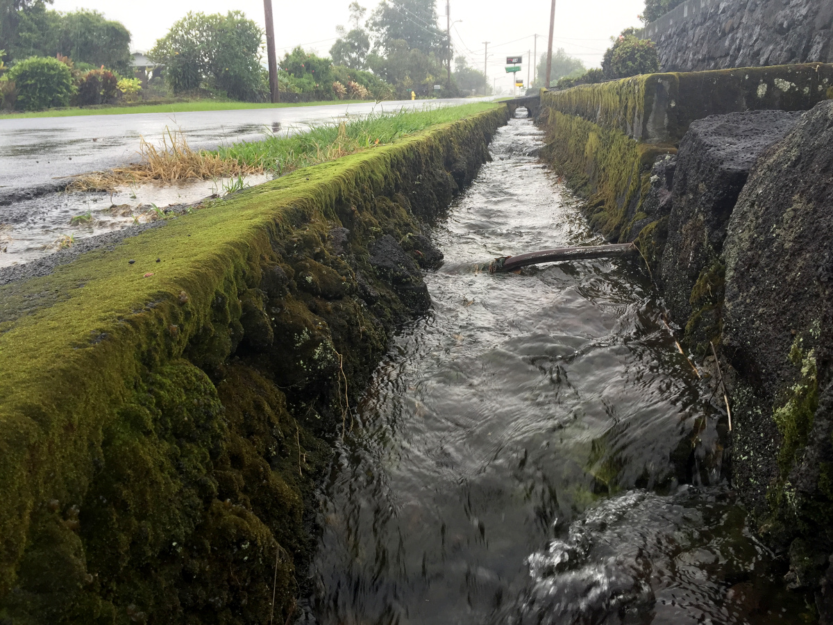
At 2:00 pm HST, radar indicated several areas of heavy rain and thunderstorms impacting the Big Island, with most of the heavy rainfall now occurring over interior and upslope areas, including the Pohakuloa Training Area. The heaviest rain is impacting areas upslope of communities from Milolii to Kailua-Kona, with additional heavy rain just south of Kamuela. Runoff from this rainfall may impact downslope leeward coastal areas, even in areas where little to no rainfall is occurring. Additional heavy rain is developing over other areas of the Big Island. Rainfall rates between 2 and 3 inches per hour will occur in the heaviest showers, with showers moving slowly north.
The National Weather Service also issued a Special Weather Statement on the thunderstorms, the strongest of which are expected to “produce frequent lightning over interior and leeward slopes.”
“When thunderstorms approach,” forecasters say, “you should move indoors. Stay away from windows and electrical appliances until the storm is over. Lightning can strike several miles away from a thunderstorm, and it does not have to be raining for you to be struck by lightning.”
ORIGINAL STORY
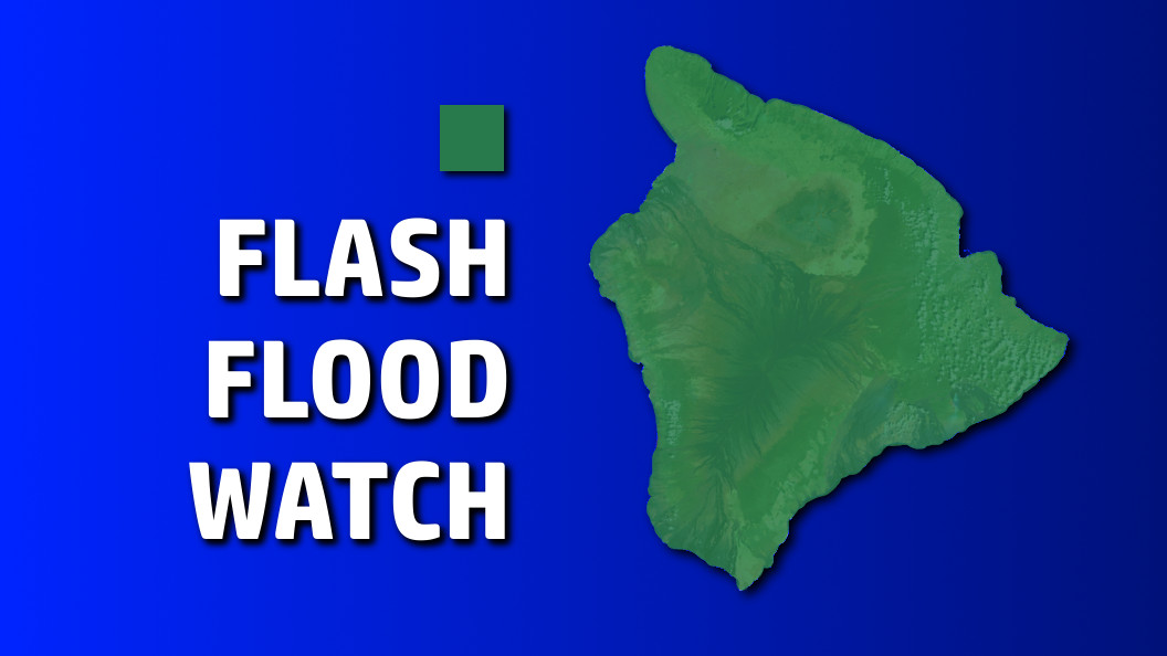
Flash Flood Watch remains in effect
HAWAII ISLAND – A Flood Advisory is in effect for Hawaii Island until 3:30 p.m. HST, coinciding with the Flash Flood Watch already in effect.
At 12:40 p.m. HST, the National Weather Service reported radar “indicated several areas of moderate to heavy rain and thunderstorms impacting the Big Island, mainly over the Hilo, Puna and Ka’u districts.”
Forecasters said additional thunderstorms were upslope in the South Kona district.
Rainfall rates near 2 inches per hour can be expected in the heaviest showers, the weather alert stated.
Locations in the advisory include but are not limited to Hilo, Papaikou, Mountain View, Glenwood, Fern Acres, Volcano, Pepe’ekeo, and Hawaii Volcanoes National Park.
East Hawaii was soaked overnight, and thunderstorms and heavy rains have continued for two days, a result of deep tropical moisture moving over the state. Forecasters say drier trade wind weather will return to the islands by Thursday and prevail through the weekend.

by Big Island Video News
on at
STORY SUMMARY
HAWAII ISLAND (BIVN) - At 12:40 p.m. HST, the National Weather Service reported radar "indicated several areas of moderate to heavy rain and thunderstorms impacting the Big Island, mainly over the Hilo, Puna and Ka'u districts".