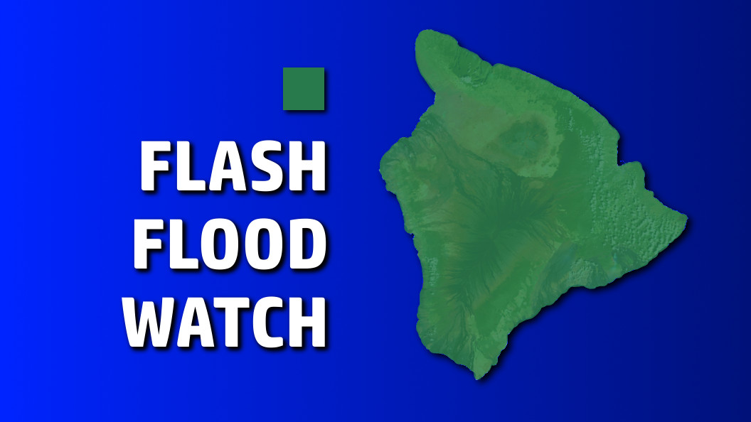
UPDATE (6 p.m.) – The Flash Flood Watch for Hawaii Island is no longer in effect.
HAWAII ISLAND – A Flash Flood Watch is in effect for the entire State of Hawaii as of 6 a.m. Sunday.
“Deep moisture associated with the remnants of Tropical Cyclone Howard will spread westward across the state today, then linger over the islands tonight into Monday,” the National Weather Service reports, as an upper level trough to our north will provide moderate instability aloft. “Locally heavy flooding rainfall and isolated thunderstorms will be possible today into Monday, and a flash flood watch remains in effect.”
“Saturated grounds from recent rain events will increase the threat of flash flooding from any heavy downpours that occur,” forecasters reported. “While flooding will be possible anywhere across the state during this time, the greatest chances will occur over the northern end of the state.”
Over the Big Island, forecasters say the primary threat for flooding will occur during the afternoon and evening hours.
A Flash Flood watch means that conditions may develop that lead to flash flooding. The National Weather Service says, “you should monitor later forecasts and be prepared to take action should flash flood warnings be issued.”
Skies were bright blue in Hilo this morning, but since then dark clouds have begun to move in bringing light, scattered showers. After Monday, a drier trade wind weather pattern is expected to return Tuesday into Wednesday, “followed by breezy and rather wet trade wind weather from late Wednesday through Thursday as the remnants of Tropical Storm Ivette move near or south of the state,” the NWS says.


by Big Island Video News3:09 pm
on at
STORY SUMMARY
HAWAII ISLAND (BIVN) - Between now and Monday afternoon, forecasters say heavy, flooding rainfall and isolated thunderstorms will be possible.