NEWS BRIEFS
- The flow field near Pāhoa is inactive.
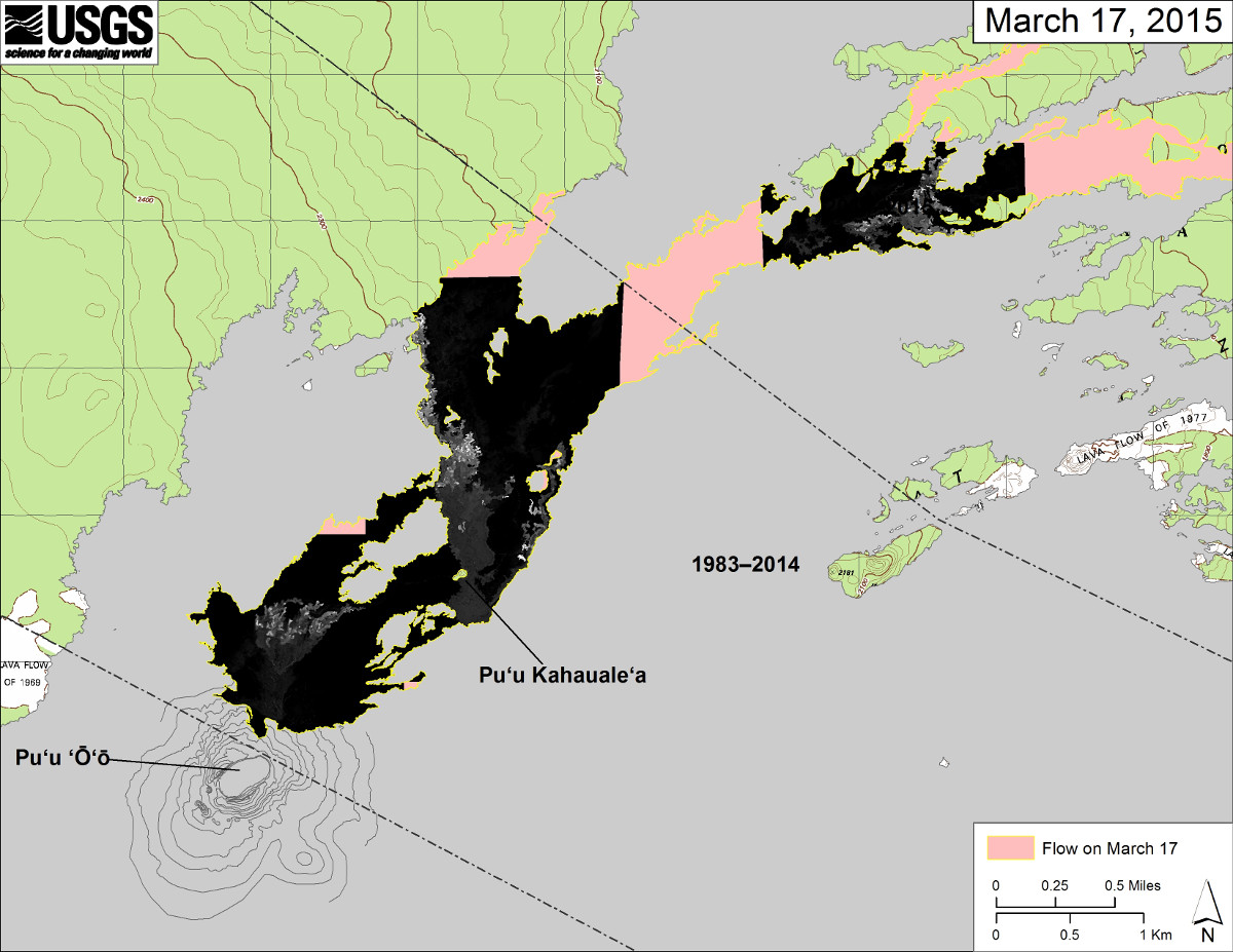
- Breakouts continue upslope in three areas northeast of Puʻu ʻŌʻō; the northern flank of Puʻu ʻŌʻō (Feb. 21 breakout), near Puʻu Kahauale’a, and 5-6 km (3-4 mi) northeast of Puʻu ʻŌʻō.
- Smoke and vog conditions were light with a light Northwest wind blowing the smoke and vog in a Southeast direction.
LATEST MAPS
PRIMARY SOURCES

This morning’s assessment continues to show very little activity in the down slope areas. Small breakouts continue to be observed approximately 8 miles upslope and nearer to the summit area. All current activity does not pose an immediate threat to area communities. The Hawaii County Civil Defense Agency and Hawaiian Volcano Observatory are maintaining close observations of the flow and residents and businesses down slope will be informed of any changes in flow activity and advancement.
Smoke and vog conditions were light with a light Northwest wind blowing the smoke and vog in a Southeast direction. Smoke and vog conditions may increase in some areas and individuals who may be sensitive or have respiratory problems are advised to take necessary precautions and to remain indoors. On behalf of the Hawaii County Civil Defense Agency and our partners we would like to thank everyone for your assistance and cooperation. Hawaii County Civil Defense on Mar. 20 at 7:45 a.m. HST

The three areas of breakouts in Kīlauea’s East Rift Zone northeast of Puʻu ʻŌʻō continue to be active. All three are in the upslope portion of the flow field, within 10 km (6 mi) of Puʻu ʻŌʻō. The lower part of the flow field near Pāhoa remains inactive and Kīlauea continues to host a lava lake at its summit.
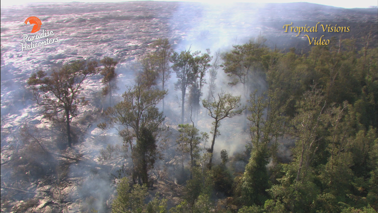
June 27th Lava Flow Observations: Breakouts continue in three areas northeast of Puʻu ʻŌʻō; the northern flank of Puʻu ʻŌʻō (Feb. 21 breakout), near Puʻu Kahauale’a, and 5-6 km (3-4 mi) northeast of Puʻu ʻŌʻō. Webcam images show a small amount of tree burning in the area of the northeast breakout. The flow field near Pāhoa is inactive.
Puʻu ʻŌʻō Observations: Webcam images show no major changes in the Puʻu ʻŌʻō crater. The tiltmeter on the north flank of Puʻu ʻŌʻō remains steady, recording no significant tilt in the past several days. The sulfur dioxide emission rate from all East Rift Zone vents was about 430 tonnes per day when last measured on March 6.
Summit Observations: Tiltmeters at Kīlauea’s summit continued to record inflationary tilt for a second day, consistent with the inflation phase of a DI event. The level of the summit lava lake has increased slightly, tracking the change in tilt, to 40-45 m (130-145 ft) below the rim of the Overlook crater. Sulfur dioxide emission rates averaged 0-3000 tonnes/day for the week ending March 17. USGS Hawaiian Volcano Observatory on Mar. 20 at 7:46 a.m. HST
FOR MORE INFO
THE LATEST: June 27 lava flow archive


by Big Island Video News9:21 am
on at
STORY SUMMARY
The flow field near Pāhoa remains inactive, while breakouts continue upslope.