(ABOVE VIDEO) Friday morning civil defense message with footage from Thursday evening along Apa’a Street and the Pahoa Transfer Station.
NEWS BRIEFS
- Lava has yet to cross Cemetery Road on the outskirts of Pahoa village, but the flow front is a mere 250 yards away. A civil defense overflight this morning shows the lava advanced 300 yards since yesterday.
- Hawaii County has closed Apa’a Street and Cemetery Road between the Pahoa Transfer Station and Kaohe Homesteads Road. Civil Defense will be operating in the area around the clock to maintain close observations of flow activity.
- No evacuations have been ordered. Civil defense will be going door to door in the communities down slope of the lava flow to make sure residents are aware of the situation.
- The transfer station will be closed at the end of the business day Friday. Recycling services, including green waste, scrap metal, white goods, HI-5 and Reuse areas will close at 12 Noon Friday in order to allow time to move equipment. A new temporary site has been selected, and operations are scheduled to begin at the new site on Saturday, October 25, 2014 at 6 a.m. The new site is located on Kauhale Road above the Pāhoa Neighborhood Facility
PRIMARY SOURCES
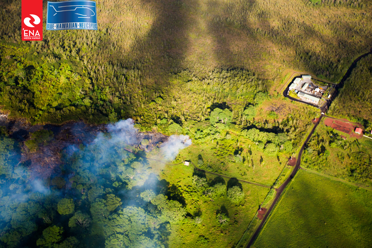
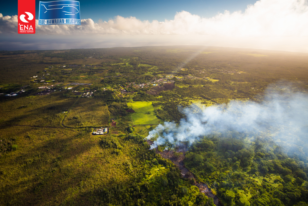
Ena Media Hawaii and Blue Hawaiian Helicopters took an overflight this morning, and captured just how close the flow is to Apa’a Street.

Photo courtesy Ena Media Hawaii and Blue Hawaiian Helicopters, taken on October 24, 2014.

Photo courtesy Ena Media Hawaii and Blue Hawaiian Helicopters, taken on October 24, 2014.

This morning’s assessment shows that the flow has advanced approximately 300 yards since yesterday. This flow front is active and moving in a northeast direction. Currently the leading edge of the advancing flow is approximately 250 yards from the Apa’a Street area near the Pahoa Transfer Station. There was very little burning activity and smoke conditions were moderate. There is no brush fire threat at this time.
Civil Defense and Public Safety personnel will be conducting door to door notifications of residents in the down slope areas of Pahoa Village to insure residents are aware of current activities. Door to door notifications will be taking place tomorrow, Saturday October 25th. This is not an evacuation notice. This is not an evacuation notice.
Current flow activity does not pose an immediate threat to area communities and no evacuation is needed at this time. Area residents will be given adequate notice to safely evacuate should that be necessary.
With the change in flow activity and advancement, Apa’a Street and Cemetery Road will remained closed between the Pahoa Transfer Station and the Kaohe Homesteads Road. In addition, Civil Defense and public safety personnel will be operating in the area round the clock to maintain close observations of flow activity.Hawaii County Civil Defense on Oct. 24 at 7:45 a.m. HST

HVO scientists monitored the distal portion of the June 27th flow on foot yesterday afternoon. The rate of advance of the narrow lobe that is now the leading edge of the flow was about 420 m/day (460 yd/day), consistent with the rate measured by Civil Defense the previous day. Localized topography is keeping the lobe from spreading out, resulting in the narrow, fast-moving flow.
Puʻu ʻŌʻō Observations: A tiltmeter on Puʻu ʻŌʻō cone recorded very slight inflationary ground tilt over the past 2 days. Seismic tremor remained steady. Glow was visible overnight above several outgassing openings in the crater floor, but there were no significant changes in activity within the crater. The most recent sulfur-dioxide emission-rate measurement for the East Rift Zone was 450 tonnes per day (from all sources) on October 9, 2014.
Summit Observations: Tiltmeters at the summit recorded very slight inflationary tilt over the past two days. The lava lake level fluctuated slightly, as usual, but there was no significant net change over the last day.USGS Hawaiian Volcano Observatory on Oct. 24

by Big Island Video News9:12 am
on at
STORY SUMMARY
Lava is only 250 yards away from Cemetery Road near the Pahoa Transfer Station.